
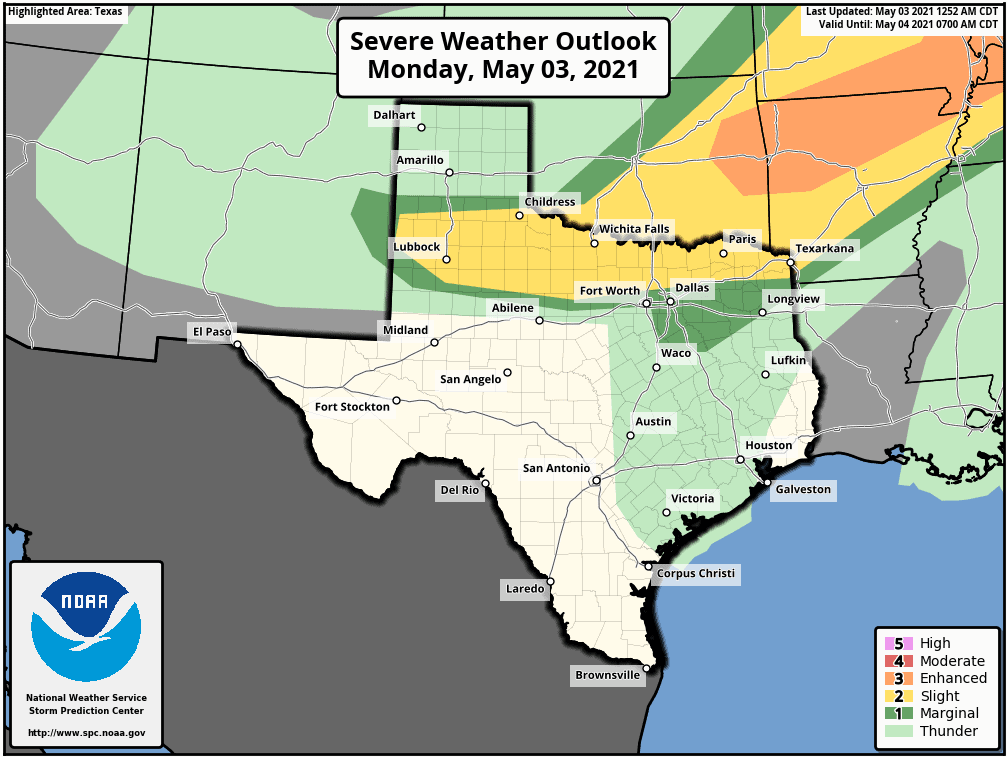
Isolated to scattered severe thunderstorms are possible late this afternoon, and especially this evening and tonight. The Storm Prediction Center has highlighted a risk for severe storms in West Texas, Northwest Texas, Texoma, North Texas, and Northeast Texas.
There is a sharp gradient on the southern edge of the risk – where a strong capping inversion will prevent storm development. You can always view the latest severe weather outlooks by clicking here.
The current expectation, which could change some by this afternoon, is severe storms should remain north of Interstate 20. Very large hail is expected with the most intense storms today. Localized damaging wind gusts up to 70 MPH and a tornado is also possible.
Timing, threats, and probably a headache
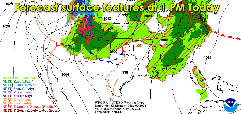
Our severe weather setup for today isn’t your typical ‘dryline’ event we typically deal with in May. A cool front will be moving south across West Texas and the Big Country by dinner-time. The cooler airmass accompanying the front will be shallow.
An unstable airmass will remain above the shallow cooler air in the lowest few thousand feet above the surface. Thus, severe storms behind the cool front could still be quite capable of producing large hail.
An upper-level storm system, known as a shortwave, is expected to move east into northern Texas tonight. Lift accompanying the upper-level shortwave will allow scattered storms to develop in West Texas after 3 PM. If the timing is off, we might have to wait a few hours. Either way, the most intense storms are likely to become supercelluar with large to very large hail.
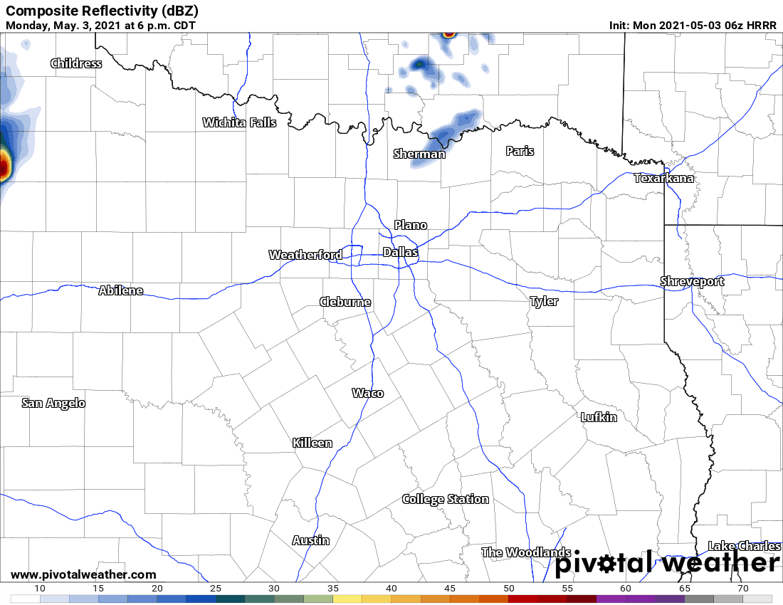
1 AM run of the High-Resolution Rapid Refresh (HRRR) model. Simulated weather model radar for this evening and overnight. This is only one model run and will likely not unfold exactly as shown.
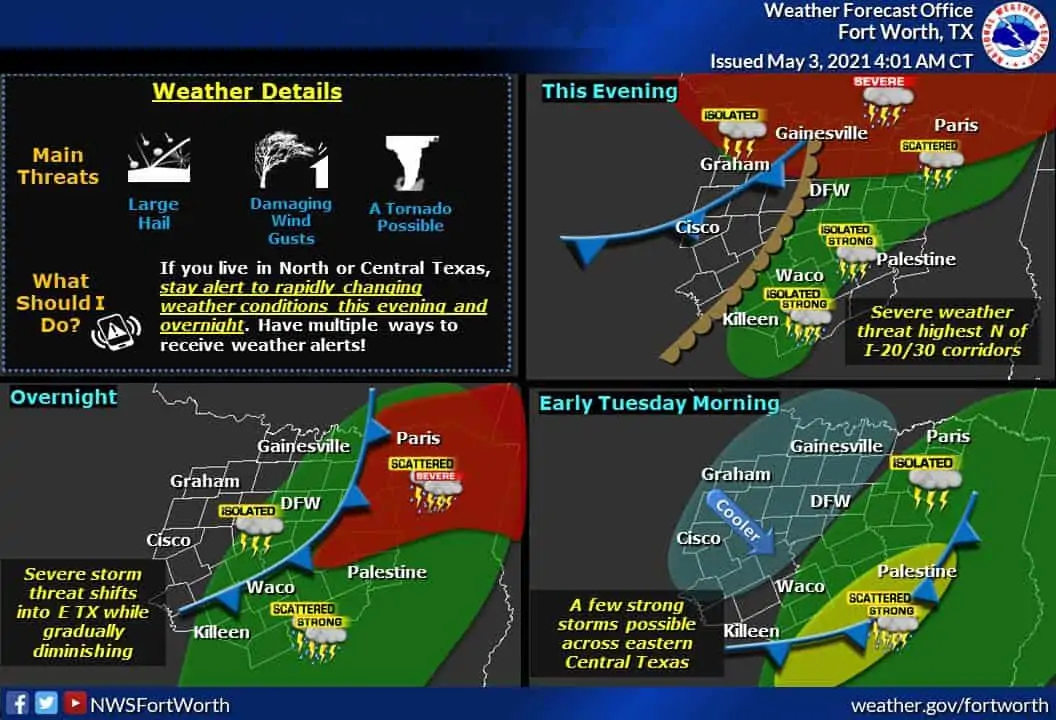
Storms will move east, maybe east/northeast this evening. High-resolution weather models have been consistent in showing at least one long-track supercell from West Texas moving east all the way to Highway 75 north of Dallas to the Red River near midnight. A swath of large hail and strong winds would likely accompany that cell for its several-hundred-mile journey. There may be more than one storm that tries making that trip, too.
But wait, there’s more!
To add to the complexity of today’s forecast, a dryline-like feature will be chilling near Interstate 35/35W late this afternoon. A few severe storms may try breaking out around 6-9 PM this evening. A conditional threat for sure, but if any storms do develop, they’d likely become severe quickly with a threat of damaging hail, strong winds, and perhaps a tornado.
Unlike the storms developing farther to the west this afternoon, any rogue storms closer to I-35 early this evening would be in a completely unstable airmass, so we’d have to keep an eye out for a low tornado threat.
Isolated to scattered severe storms are possible early Tuesday morning in Northeast Texas as storms move in from the west. Large hail and strong winds will remain possible until those storms move into Arkansas or Southeast Oklahoma. I’m hopeful they’ll be slowly weakening late tonight. Still, it possible we have at least one storm track from around Lubbock in West Texas this afternoon all the way to Arkansas by 3 AM Tuesday.
We may also see a few storms fire along the cool front as it moves into Central and North Texas after midnight.
Forecast caveats, notes of caution, and tidbits
Again, today’s severe weather threat will have a sharp southern cutoff – based on a strong lid on the atmosphere and exactly where the upper-level lift can overcome it. If the upper-level lift ends up tracking a bit farther south, the threat will extend farther south by 30-50 miles. Likewise, a northward jog would result in a northward shift. It’s May in Texas, and Mother Nature is a troll. It’s wise to expect the unexpected when it comes to severe weather forecasts.
Let’s be honest here – most folks know to keep an eye on the sky during the late afternoon and early evening hours most days. Today will be one of those days – especially if you don’t like hail. Most folks will not get stormed on today or tonight, but those who do could end up with falling chunks of ice. I’ll be in ‘TSC HQ’ providing digital media updates later today and overnight. We’ll have multiple chasers out and about with live storm chasing video on our YouTube channel.


0 Comments