
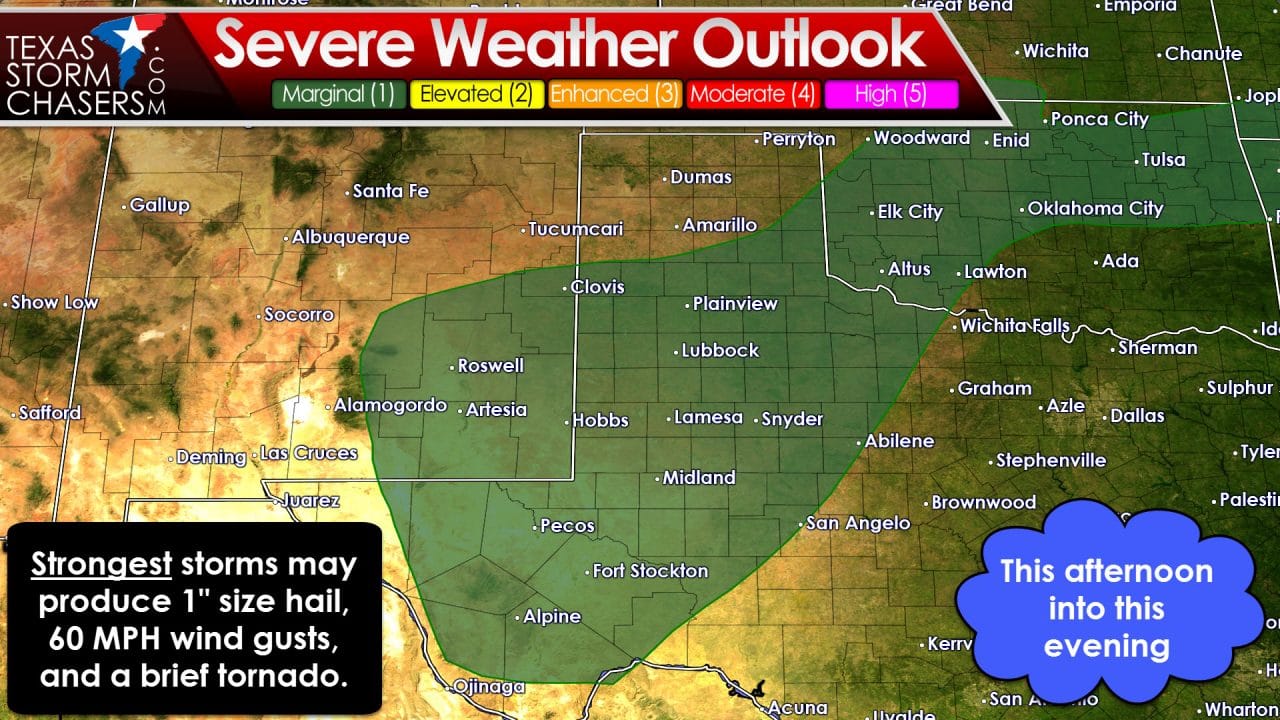
We’re already starting to see a few stronger storms popup south of Lubbock this afternoon, but the ‘main show’ should still be a few hours off. The Storm Prediction Center has issued a category 1 risk of severe weather for this afternoon and evening. That risk covers the southern Texas Panhandle, South Plains, Rolling Plains, Northwest Texas, western sections of the Big Country and Concho Valley, plus much of the Permian Basin. This risk is the lowest on a five-level system and indicates isolated severe storms will be possible. The strongest storms this afternoon and evening may produce hail up to the size of quarters, localized wind gusts over 60 MPH, and a low-end risk for a brief tornado. The tornado risk isn’t zero, but it is quite low.
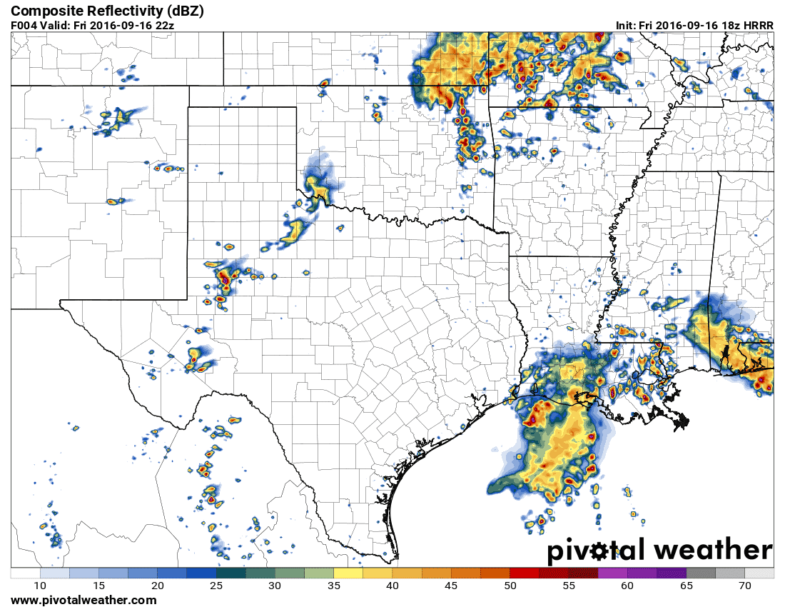
A simulated radar later this afternoon from one model. Don’t expect it to get it spot-on.
In my opinion the best chance for a few severe storms this afternoon will be in southern sections of West Texas and into the Permian Basin. This is where skies have cleared and temperatures have warmed into the 80s. There isn’t a particular forcing mechanism in place to help promote widespread thunderstorm development. For that reason we expect only isolated severe weather issues this afternoon. The strongest storms may be supercellular with a risk of hail and damaging wind gusts. As stated up the tornado risk is very low. We may see a cluster of thunderstorms organize this evening and move into parts of the Big Country and Concho Valley tonight. This aspect of the forecast is somewhat uncertain so we’ll have to keep an eye on it.
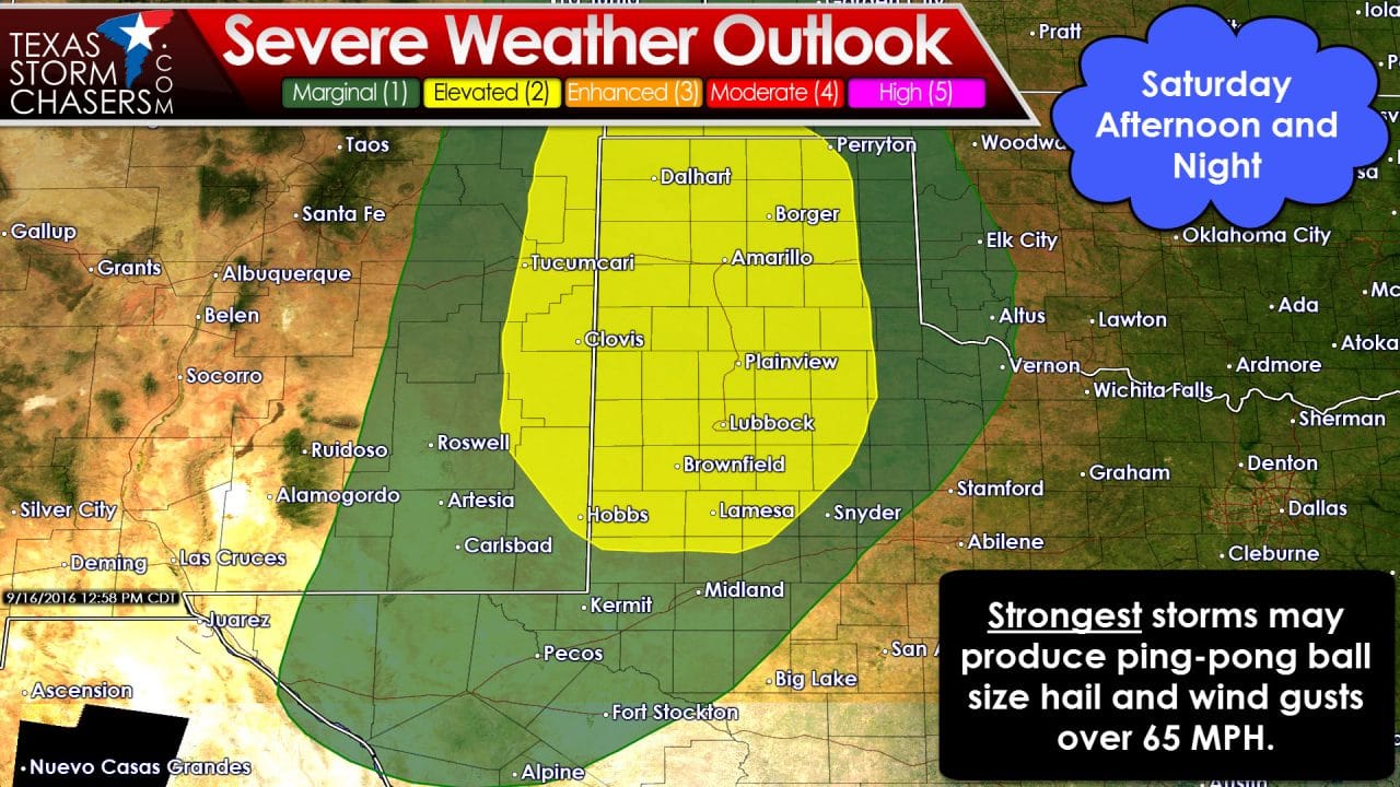
Saturday afternoon and evening may end up being the more active of the two days. The Storm Prediction Center has placed a category 2 severe weather risk across much of the Texas Panhandle, excluding the eastern column of counties bordering Oklahoma, plus much of West Texas. Dalhart, Amarillo, Plainview, Lubbock, Brownfield, and Lamesa are a few towns included in this category 2 risk. A marginal risk (category 1) includes the Permian Basin. The first storms may develop in eastern New Mexico and West Texas. Some of these inital storms may be supercellular (discrete) in in nature with a risk of large hail and gusty winds. With time they’ll congeal into a complex that will move east/southeast towards Northwest Texas, the Big Country, and Concho Valley. Uncertainty remains on how far southeast/east it’ll make it tomorrow night, but I wouldn’t be shocked if it tries to move into the Big Country and North Texas early Sunday morning in a weakened state. Time will tell. Regardless it appears our fall severe weather season has begun!


0 Comments