
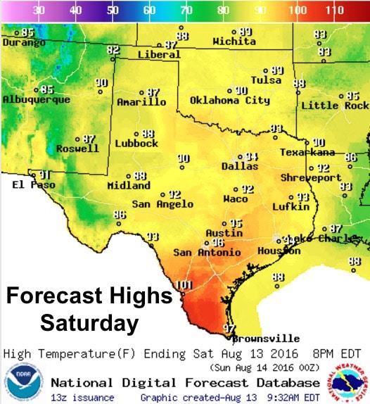
Yesterday’s front has settled into south central Texas this morning with somewhat cooler air filtering in behind it. Highs today will range a good 10 to 15 degrees lower that what we’ve seen the past week and will bring relief from our typical August heat. With rain chances and cloud cover expected to linger into next week,we’re looking at temps staying at or below normal for most of the state…the exception being across south Texas which unfortunately will not benefit from the front. There, Heat Advisories will remain in effect with heat index values climbing above 110 again this afternoon.
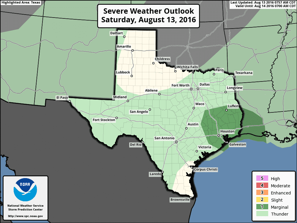
The radar across the state is relatively quiet at the moment, but this will change as we get into the early afternoon hours. Scattered showers and storms are expected to develop near and ahead of the frontal boundary this afternoon as we begin to heat up. Southeast and south central Texas will have the most activity as the western edge of the low pressure system over Louisiana continues to slowly drift west. While most of the storms today will remain below severe limits, southeast Texas is has been placed under a Marginal Risk for seeing a few strong to severe storms which will carry a threat of damaging microburst winds and very heavy rain. Widespread flash flooding with the storms that form today is not anticipated; however, isolated occurrences of flash flooding will be possible for anyone under the stronger cells that pop up. This is a concern that will have to be closely monitored this afternoon as storms begin to form, especially across southeast and south central Texas.
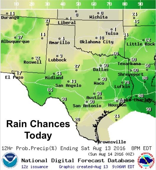
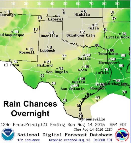
Again, rain chances today look favorable for development mainly south of the I-20 corridor and down into south central Texas with yesterday’s front being pushed a bit further south than was previously forecast. Northern Texas…including the DFW metro area will see chances for scattered development as well, but not as numerous as areas further south. Due to the scattered and pulse nature of the storms over the next several days, not everyone will see large amounts of rain. But for those that do, it could be a quick dump of 1 to 2 inches before they die out and then redevelop along their outflow boundaries.


0 Comments