
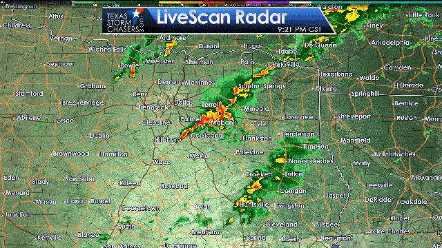
Thunderstorms have increased in coverage over the last hour across eastern sections of North Texas extending into Northeast Texas. The good news is most of these storms have been behaving and are below severe limits. A severe storm is defined as having wind gusts over 58 MPH, hail of at least 1″ in diameter (quarters), and/or containing a tornado. Storms that developed earlier this evening along the Red River around Nacona to Bowie have slowly weakened. Meanwhile, the storm now east of Kaufman was severe earlier with wind gusts up around 60 MPH. It has since weakened, but remains strong with winds up to around 50 MPH possible. The threat for localized damaging winds of 50 to 65 MPH will continue into the night as the cluster of storms continues to slowly organize.
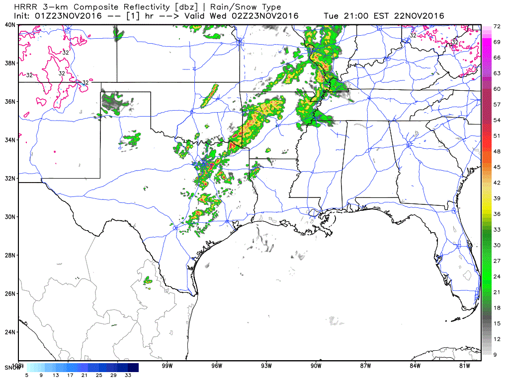
The storms now moving into East Texas will continue through the evening hours. A few of these storms may become severe with localized damaging wind gusts over 60 MPH possible. A brief tornado is not out of the question, but the tornado threat is low tonight. Isolated to scattered storms will also develop later this evening in the Brazos Valley and will be moving northeast. Eventually a cool front will cause all these storms to consolidate into a squall line after midnight. That line, likely sub-severe in nature, will move southeast through Southeast Texas during the morning hours Wednesday. Most precipitation should be moving off the Texas coast by 10 AM Wednesday. In the rain’s wake travel conditions will be good across Texas with a noticeably drier airmass in place.


0 Comments