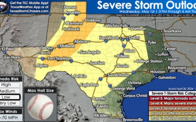
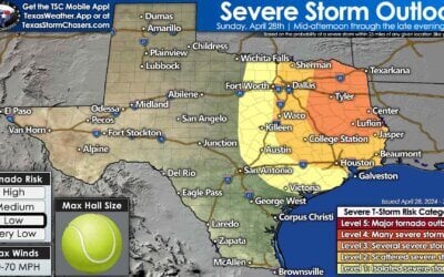
After today the next item on the weather list will be an arctic cold front later this week. However, we’ll deal with that after we get through the round of storms this morning. First off on the list of things to cover is the tornado watch. We do, in fact, have a tornado watch for the rest of the morning across Northeast Texas, East Texas, and extreme Southeast Texas. This watch will likely be cancelled after the squall line moves through later this morning. I do expect the strongest portions of the squall line will continue to produce damaging straight-line winds over 60 MPH. A brief tornado is not out of the question with more intense sections of the squall line. What we’ll be watching for in terms of any more sustained tornado potential is discrete cells that can form ahead of the squall line. We do have a few such cells trying to organize around Jasper. So far they’ve been behaving.
The squall line has been booking it east overnight. At the time of this writing the squall line extends from just west of Mount Pleasant to Tyler to Huntsville to Sealy. It is moving east around 45 to 50 MPH. Not all sections of the squall line are producing the damaging straight-line winds, but those in the path will likely receive at least 40 MPH wind gusts. Some sections of the squall line are capable of producing winds over 60 MPH. As said previously, a brief tornado is not out of the question, but the threat is low.
The fast moving of the squall line means it should be moving east of Texas by the late morning-early afternoon hours. As the line moves east of a given location we should see the tornado watch cleared behind it. That means the primary severe weather threat will be for the next couple of hours. Most storms should be east of Texas by lunch time – and with that our severe weather threat will come to an end.


0 Comments