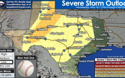
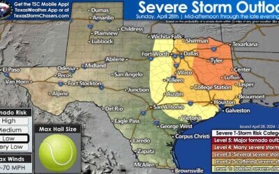
A few isolated strong to severe storms may develop within the next couple of hours across parts of north central Texas up into south central Oklahoma ahead of the cold front. The Storm Prediction Center has a Mesoscale Discussion out with a 40% probability of Watch issuance. Latest high-resolution forecast models have been consistent with at least a few storms developing just to the west/northwest of the DFW metroplex between 7pm and 9pm as the cold front and dryline pushes into the region. If this does happen, sufficient moisture and instability will be in place for the development of at least a few strong to severe storms. For areas along and east of the I-35 corridor, the threat of strong storms will increase overnight with the threat of isolated heavy rainfall, frequent lightning and gusty winds. While the threat of a tornado spin-up is low, it’s not zero due to the amount of wind shear in place, so we can’t completely rule that out. It’s not often that we have to suggest keeping an eye on the weather overnight in late November, but do make sure you have a way to receive weather warnings in case any are issued for your area.
Simulated radar animation for NORTH CENTRAL TEXAS through 10am Wednesday:
Animated statewide simulated radar through 10am Wednesday morning:


0 Comments