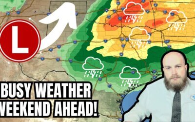
Tuesday will feature mostly calm weather across Texas. Clouds will hold tough across the southern to the state’s southeastern half. A few sprinkles or light showers can’t be ruled out. Significant precipitation (anything more than a trace) is not expected through Wednesday morning. The northern half of Texas will enjoy clear skies and a warmup compared to yesterday’s little cool-off. Clouds will increase across the state Wednesday morning ahead of our upcoming upper-level storm system.
Isolated to scattered thunderstorms are possible beginning late Wednesday afternoon in the Texas Panhandle. The best chance for a storm will be east of Interstate 27 and Highway 287 north of Interstate 40. Hail may occur with the stronger storms – it is pretty much spring. Rain chances will increase Wednesday evening and continue through Thursday morning across the eastern half of Texas.
Scattered to numerous thunderstorms are probable Thursday morning. Some storms may be strong with pocket-change size hail, gusty winds, frequent lightning, and heavy rain. We may see a brief lull late Thursday morning, with activity moving east into Arkansas and Louisiana. Depending on the eventual timing of our upper-level system and potential destabilization after morning rain, we may see another round of afternoon/evening thunderstorms from North Texas down into the Brazos Valley, East Texas, and Southeast Texas. We’ll monitor this conditional threat since some storms could be strong to severe with hail, gusty winds, and heavy rain.
We look to be mostly calm and dry on Friday and Saturday. Thursday’s system will not bring a significant cold front, so we’ll remain warm through the end of the week and into the weekend.
A robust upper-level storm system will likely impact our weather on Sunday and Monday. Details like timing and eventual weather hazards remain murky. Still, it is reasonable to expect fire weather (wildfire) issues across the western half of Texas and potentially thunderstorms in the east. Strong, gusty winds are likely due to a potentially impressive surface low pressure and a tight pressure gradient. We’ll deal with next week’s system once we get past tomorrow’s.
My FREE & AWESOME weather app for radar/alerts/more: https://texasweather.app/
My website, also with radar: https://texasstormchasers.com
The 24/7 Texas weather tracker & music: https://www.youtube.com/watch?v=lNZuPEWS5AI&t=0s
Storm chaser videos: https://www.youtube.com/texasstormchasers
Facebook: https://www.facebook.com/TxStormChasers
TikTok: https://www.tiktok.com/@texasstormchasers
X (Twitter): https://twitter.com/TxStormChasers


ALL HAIL KING 🤴 BALDY RULER OF ALL THE WEATHER REALM 👑
Thank you for sharing you time and expertise 😊
Don’t forget to hit the like button! It’s a free way to help out the TSC team! 🫶🏻