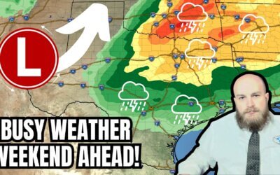
This afternoon, we’ve had multiple reports of brief tornadoes in the northeastern and eastern Texas Panhandle. One tornado was reported near Perryton, and another was reported southeast of Shamrock. Those storms have moved east into Oklahoma. Additional isolated thunderstorms have developed further southeast into Northwest Texas. All modes of severe weather may occur with the most intense of those storms as they quickly move east/northeast into Texoma and western North Texas through dinner time. A few storms may approach the D/FW Metroplex by 9 PM.
Later tonight, thunderstorms will form on a southeastward-moving cool front across Northwest Texas, the Big Country, and the Concho Valley. Some storms may be severe with damaging winds, pocket-change size hail, and spin-up tornadoes. That activity will move east into North Texas and Central Texas late tonight. Eventually, that line of storms will move east across Northeast Texas, the Ark-La-Tex, East Texas, the Brazos Valley, and Southeast Texas Monday morning. Some storms may remain strong to severe with strong winds. Live storm chasing video can be watched on @texasstormchasers, and we’ll have live severe weather coverage as needed.
FREE & AWESOME weather app for radar/alerts/more: https://texasweather.app/
My website, also with radar: https://texasstormchasers.com
The 24/7 Texas weather tracker & music: https://www.youtube.com/watch?v=lNZuPEWS5AI&t=0s
Storm chaser videos: https://www.youtube.com/texasstormchasers
Facebook: https://www.facebook.com/TxStormChasers
TikTok: https://www.tiktok.com/@texasstormchasers
X (Twitter): https://twitter.com/TxStormChasers


0 Comments