
We’ll get one more day of relatively quiet weather across most of the Texas Panhandle and West Texas, but that’ll begin changing this evening. Isolated to widely scattered pop-up storms are expected this afternoon across the eastern third of Texas and along the Texas Gulf Coast. Any popup storm may produce frequent cloud-to-ground lightning and localized very heavy rainfall.
As we head past dinner time and into tonight, we may see thunderstorms enter the Texas Panhandle from the northwest. Some of those storms may be severe with damaging wind gusts over 70 miles per hour, pocket-change size hail, and heavy rainfall. Localized flooding is possible if we see those heavy rains fall on already saturated soils. Storms may continue into the pre-dawn hours on Wednesday.
As we get into Wednesday and Thursday, we’ll head back into the daily routine of scattered severe storms after 3 PM CT in the Panhandle, West Texas, and perhaps the northern Permian Basin. The initial storms, during the afternoon hours, may be supercells with a risk of large hail, localized damaging wind gusts, and perhaps a brief tornado. By the evening and overnight hours, an east/southeastward moving complex of storms is expected, which may produce strong winds and heavy rainfall. We’ll need to watch for localized flooding.
Friday into the weekend may feature an upper-level pattern shift with the sub-tropical jet becoming increasingly active. That weather pattern may result in increased precipitation chances across the northwestern half of Texas, and perhaps further south and east too. Some severe weather and heavy rainfall potential are evident during the late week timeframe, but uncertainties remain high. The good news is we’re not seeing any indications of a ‘heat dome’ or ‘hot summer weather pattern setting up in the next 10 days. Sure, it’ll be warm, but we won’t be touching the summer of 2022 in any respect within the foreseeable future.
Get the FREE Texas Storm Chasers Mobile App! Available in your device’s app store, or at https://texasweather.app/
DISCORD: https://discord.gg/a6gRBZX9CU
00:00 – Intro
00:56 – This afternoon’s rain chances
01:50 – Texas Panhandle Storms Tonight
02:17 – Tonight/Wednesday Morning Storms
02:52 – Wednesday’s Severe Storm Risk in Western Texas
04:14 – Thursday’s Severe Weather Outlook
04:42 – Three-Day Rain Accumulation Forecast
05:56 – Five-Day Rain Accumulation Forecast
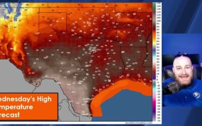
06:49 – Five-Day Texas Temperature Forecast
07:56 – Final thoughts and Baldyinchiefisms
#TXwx #flashflooding #streetflooding #weatherforecast #todaysweather #today #todaynews #texasweather #hail #wind #newmexico #tornado #supercell #rain #flashflood

0 Comments