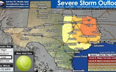
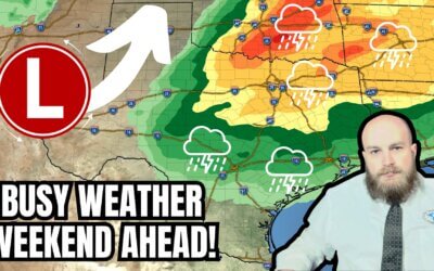
Warming up today and over the next several days with record highs possible for many locations across the state by Monday and into Tuesday. A strong surface low will develop to our north on Monday in conjunction with an upper level shortwave, and this will generate strong southwest winds across the western half of the state on Monday leading to an increased threat of wildfires. Rain chances remain slim and focused mainly across the eastern half of the state today and tonight. Definitely a very warm and dry pattern in place for this time of the year. A Pacific front will arrive Wednesday and push through most of the state by Thursday, but it’s not expected to have a drastic effect on temperatures. Overall, we’ll remain slightly warmer than normal for the end of the week, then warm up once again next weekend.

The item of greatest concern over the next couple of days will be the threat of wildfires Monday and Tuesday. Strong southwest winds Monday afternoon across the panhandle, west and northwest Texas combined with temperatures in the upper 70s to low 80s, low relative humidity values and plenty of dormant grass across the region will lead to Elevated and Critical wildfire conditions on Monday. The winds look to calm a wee bit on Tuesday, but we’ll still need to keep an eye on the potential for fires to develop until after the Pacific front clears the region late Wednesday. Fire Weather Watches are in place for all of the panhandle, much of the rolling plains/northwest Texas and down into the northern Permian Basin/Trans Pecos region through Monday evening.


0 Comments