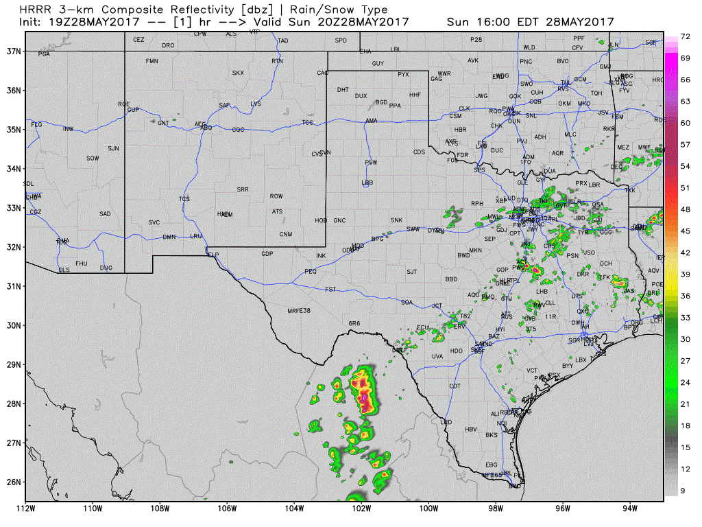
We now have a severe thunderstorm watch through 10 PM for portions of central Texas, Southwest Texas, East into the Brazos Valley. Stronger storms this afternoon may produce hail slightly larger than the size of a golf ball, localized damaging wind gusts up to 70 mph, and of course dangerous cloud to ground lightning is expected with any thunderstorm today. Storms are being caused by a slow-moving cold front that is moving south. Conditions northof the front are much less humid, so that’ll be something to look forward to. Not all storms will be severe, but they will produce dangerous lightning. Some rain may continue into the evening hours behind the cold front, but with a much lower severe threat . I’ll leave you with a depiction of the HRRR simulated model radar through this evening. It won’t get the exact times/locations down right, but you get the general idea. Finally, I’m in the middle of an 11 hour shift at work. I won’t be posting many updates today for that reason. You can keep tabs on storms with our free weather radar. That link is at the top of this page.
Texas Weather: More Storms Heading Your Way Today And Friday!
Rowdy thunderstorms accompanied by heavy rainfall are set to persist until...


0 Comments