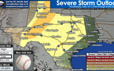
The day has started off wet for parts of the Big Country, North Texas, into East Texas with scattered storms. None of this morning’s activity has been severe and we’re not expecting severe weather today. The highest rain chances this morning will be across the Big Country and North Texas.
By this afternoon the best chance for scattered showers and storms will shift east of Interstate 35 into East Texas and Southeast Texas. Additional rain totals up to one inch are possible with the heavier storms this morning in North Texas – generally southwest of D/FW. Otherwise a few folks may see up to half an inch. Isolated to widely scattered popup showers/storms are expected this afternoon in Southeast Texas. By early this evening we should quickly be drying out and most outdoor events should go off without a hitch weatherwise.
We’ll get to enjoy one final day of slightly cooler weather in northern parts of the state. Temperatures today will top out in the upper 70s along the Red River and in the 80s near Interstate 20 from the Big Country into East Texas. The Texas Panhandle, Permian Basin, Hill Country, into Southeast Texas will top out in the middle to upper 80s. South Texas and the Rio Grande Valley will climb into the 90s today. For those snickering at the warmer weather don’t you worry – you’ll get to share in it this weekend.
Temperatures this weekend will be above-average across all of Texas. A ridge of high pressure will set up shop over our area. Southerly winds will start to advect moisture back north with time. High temperatures will top out in the upper 80s to upper 90s across Texas on Saturday and Sunday. These warmer readings will be 5 to 20 degrees above where we should be for mid-October. Since most areas have had above-average temperatures and below-average rains recently the risk of grass fires is increasing. The warm weather this weekend will not help grass fire concerns. Fire danger won’t be particularly high, compared to after our first hard freeze of the fall, but surface fuels are still pretty dry.
Early next week will continue to feature above-average temperatures. An upper level storm system should bring a return of rain chances and a cool front by the middle of next week. It is my hope this upcoming front will have the push necessary to make it much farther south than the last front. It is only a matter of time before everyone gets to enjoy a few days of fall weather!


0 Comments