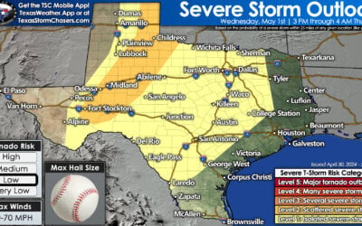
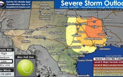
Rain chances are on the rise across the eastern half of Texas. We’ll see showers and thunderstorms become numerous tonight and continue through the morning hours on Friday. Some thunderstorms may produce pea to nickel size hail. A few storms may briefly become severe with hail up to the size of quarters. By far, most convection tonight will not become overly rowdy in the ‘wake you up with hail’ department. As for getting woken up by thunder? Well, that’s more probable.
A marginal risk of severe thunderstorms exists tonight in North Texas and Northeast Texas. A few storms may briefly become severe with hail up to the size of quarters. On a five-level risk scale, tonight’s severe weather risk is at a one. Five is the highest, and one is the lowest. You can find a full explanation of the severe weather risk scale here. Tonight’s thunderstorms will remain elevated above a stable layer of air near the surface. Elevated thunderstorms do not produce tornadoes, and damaging winds don’t usually reach the surface.
Simulated weather model radar tonight through Friday morning. Showers and thunderstorms are likely tonight across the eastern half of Texas. The strongest storms are likely in North Texas and Northeast Texas. Activity will move east/northeast and decrease in coverage after sunrise Friday. Rain amounts will average between one-quarter and three-quarters of an inch. One to two inches of rain is possible across eastern North Texas and Northeast Texas. Minor street flooding in construction zones and typical trouble spots may occur where we see heavier thunderstorms tonight. Widespread flash flooding is not likely, but most rain will run off into tributaries and rivers. Streams and rivers are likely to rise this weekend.
Storm chances continue on Saturday and Sunday.
Thunderstorm chances will return on Saturday and Sunday. Some severe weather threat is possible on both days. Any severe weather threat this weekend will likely be driven by small-scale variables that we can’t yet pin down. Additional rains are also likely to occur regardless of any severe weather possibilities. We’ll dive into Saturday and Sunday after we get through tonight’s storm system.


0 Comments