
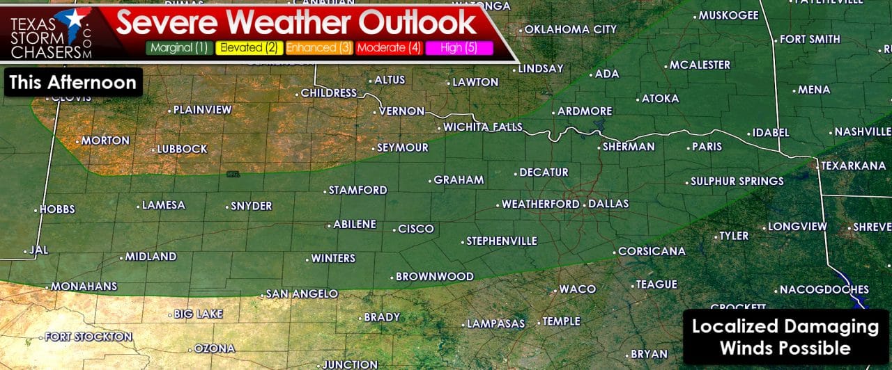
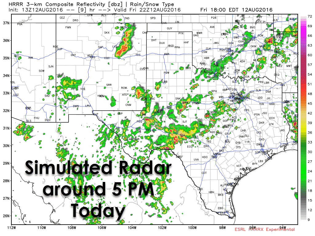
Isolated to scattered thunderstorm development is expected to begin in a couple of hours. As surface temperatures climb into the 100s across the Permian Basin, Big Country, and NOrth Texas we’ll see convective temperatures reached. Morning weather balloon soundings indicate more moisture in place which will support an increased chance of storms. Wind shear values are weak but the very hot temperatures will support a risk of damaging wind gusts. The strongest storms this afternoon may produce localized wind gusts of 60 to 70 MPH. Locally heavy rain and dangerous cloud to ground lightning is a good bet with most storms. We should see storms really get going after 2-3 PM and continue into the evening hours. Thunderstorm development will be helped by the cool front sagging south this afternoon. The threat of severe weather will decrease tonight but thunderstorm chances will increase.


0 Comments