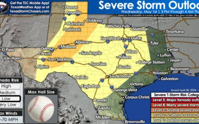
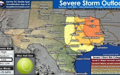
Our atypical August weather continues in earnest as another cool front enters the picture tonight and through the weekend. Copious amounts of moisture remain in place across Texas as demonstrated by overcast skies and rain showers. Speaking of which we do have rain increasing across the Hill Country through North Texas into Northeast Texas and East Texas. All of the activity is moving northeast around 20 MPH. As we continue into the daytime hours we should see an uptick in showers and thunderstorms. Like yesterday it’ll be a hit or miss scenario. A few stronger storms may occur with gusty winds and very heavy rains. The best chance for numerous showers/storms today will be in the Big Country and North Texas. However, scattered activity is expected across a large chunk of the state today.
Widespread severe weather and flash flooding is not expected through this afternoon. Localized minor flooding could occur if heavy rains fall over an area that has seen several inches of rain over the past week.
Focus shifts to the Texas Panhandle this evening as a cool front moves south into the region. Ahead of the cool front and a sign of our abnormal August weather we actually will have a bit of wind shear in place. We’re not talking about much wind shear, but there will be enough to support a more organized thunderstorm threat. The Storm Prediction Center has placed the northeastern Texas Panhandle in a category 2 risk of severe weather for late this afternoon through the evening hours. A category 1 severe weather risk encompases much of the Texas Panhandle. Isolated to scattered strong storms will likely begin to develop by the middle afternoon hours in the eastern Texas Panhandle. Some of the storms may become strong to severe with damaging wind gusts up to 70 MPH and quarter size hail. It is not out of the question that storms grow upscale into one or more lines this evening. If we see upscale thunderstorm growth the threat for damaging winds would continue into the evening hours. Localized heavy rain would be a good bet as well.
The cool front will move south into the heartland of Texas this weekend. Precipitation chances will be high this weekend. Some of the rains could be locally heavy with a flooding threat. The atmosphere will also become more unstable so the threat of a couple strong storms will exist. Widespread severe weather is not expected. The best chances for rain will depend on where the front sets up and how the previous day’s convective event plays out. Either way overcast skies will continue to keep temperatures below average through the weekend.


0 Comments