
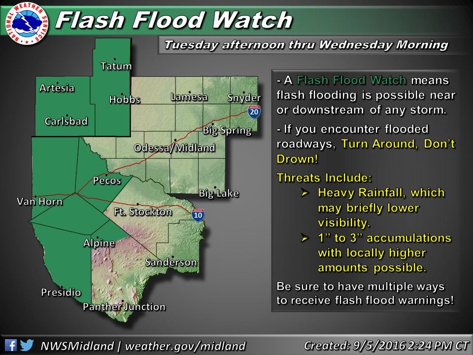
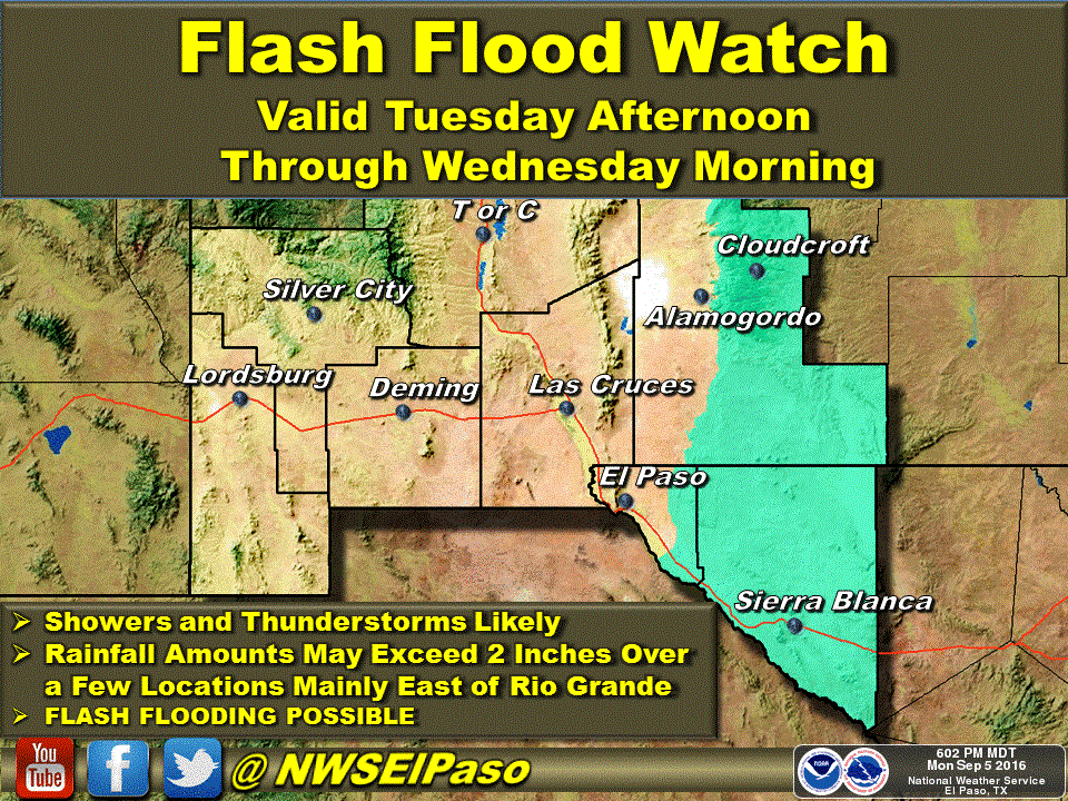
Another Labor Day weekend comes to a close, the days are beginning to get shorter, beach bags and flip flops are being replaced with backpacks and school shoes, and we’re longing for that first fall cold front to bring us crisp mornings and cool nights. Taking a peek today at the long range forecast models, it looks like we’ll only have to wait until the middle of next week to see what may be our first decent cold front of the season! But for now, the overall pattern for this week does continue to keep us warm with slightly above normal temperatures through at least Friday. It also looks quite wet across the western half of the state thanks to an influx of moisture from the remnants of Hurricane Newton currently just south of the Baja coast. This is an area of the state which has already seen soaking rain this past week, so pretty much any amount of additional rainfall across the region will aggravate flooding concerns. Flash Flood Watches have already been issued for Tuesday afternoon through Wednesday morning across far west Texas with 1 to 3+ inches possible during that time period.
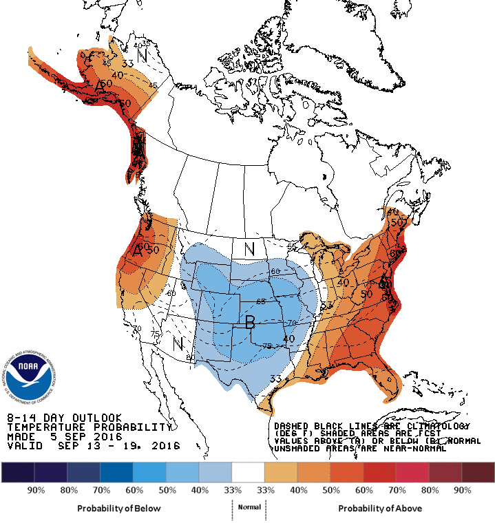
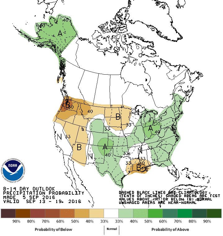
 Skipping ahead to Friday, a cold front should drop down into the northern half of the state bringing a chance for rain and thunderstorms along with it. This front is not anticipated to be very strong, nor bring significantly cooler air with it, but what we will be watching after that is the chance for a more robust front to move south out of the plains states by the middle of next week which could bring that first taste of Fall we’ve been waiting on. We normally don’t trust forecast models more than just a couple of days out, but both main forecast models…the GFS and the EURO…are surprisingly in agreement with this intrusion of much cooler air next week. This is also backed up by the Climate Prediction Center’s 8-14 day outlook below which shows us with a chance of seeing cooler than average temperatures along with above average rain chances by next week. If we do see this strong front move through, we could be looking at much cooler daytime highs in the 70s across a good portion of the state with lows dropping down into the upper 40s and 50s. Again, no guarantee this will happen, but it looks promising and is certainly something to look forward to!


0 Comments