
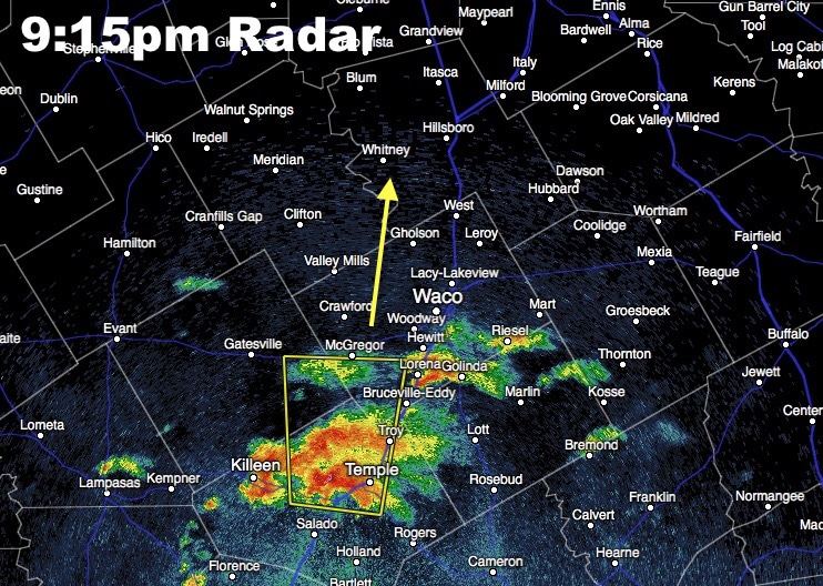
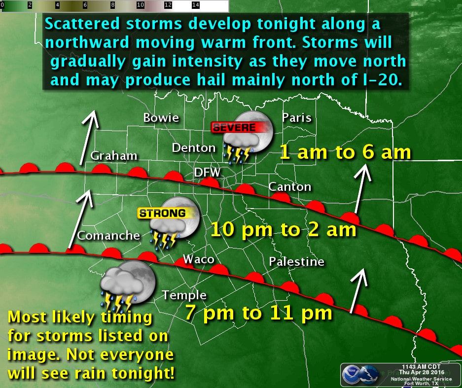
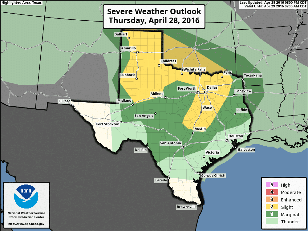
Storms across the rolling plains have begun to wind down a bit over the past half hour, but the threat for strong to severe storms remains likely across the northeastern panhandle between Borger, Pampa and Canadian for the next couple of hours until they move across the state line into western Oklahoma. Meanwhile, in central Texas, a small cluster of severe storms has developed and is currently situated between Salado and Waco. Half-dollar to golf ball size hail will be likely within this cluster as it heads north. Additional scattered development is expected to continue tonight as these storms begin to migrate towards the I-20 corridor along a northward advecting warm frontal boundary While we typically see the capping inversion return during the overnight hours…which would typically decrease the chance for severe weather…in this particular case, the cap will be weak to zero with ample instability for continuous storm development into tomorrow morning. Difficult to pinpoint exactly how widespread the storm coverage will become, or exactly what portions of the DFW metroplex could be impacted by severe weather during the pre-dawn hours tomorrow, but it’s a pretty sure bet that quite a few of us will be awakened after midnight by some thunder and lightning at the very least. Large hail, some possibly exceeding 2 inches, and damaging wind gusts will be the primary threats overnight, especially as the storms move north of the I-20 corridor towards the Red River. Make sure you have a way to receive weather warnings should any be issued for your area overnight! If you use a weather app on your smartphone to alert you, make sure you don’t have your phone on Mute as most of those apps do not override that feature.


0 Comments