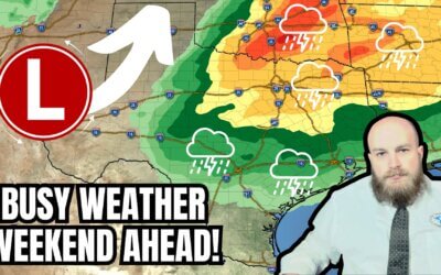
Snow has come to an end for locations west of Interstate 35W/35. Moderate to heavy snow continues to fall across Northwest Texas, East Texas, Southeast Texas, and the Brazos Valley. The back edge of the snow is moving east around 30 miles per hour. Thundersnow continues to be reported around Galveston. A mixed bag of precipitation is falling in Beaumont and Port Arthur. We’ll hopefully see that change over to snow within an hour or two. Hourly snowfall rates under the heaviest bands are approaching one and a half inches. A few additional inches of snow will likely accumulate over the aforementioned regions before the snow ends later this morning. Accumulations are unlikely to experience much melting today, and travel disruptions will remain severe across a vast majority of Texas.
Extreme cold will continue today and tonight. Low temperatures below zero are now likely tonight north of a line from Dalhart to Childress to Breckenridge to D/FW International Airport to Tyler to Texarkana. Temperatures will drop into the single digits tonight along and north of Interstate 10 from Pecos to Liberty. Another winter storm will bring significant accumulations and impacts to the Texas Panhandle, North Texas, and Northeast Texas Tuesday Night and Wednesday – including a potential ice storm. We’ll talk about that in more detail in our usual Texas Weather Roundup out by 8 AM.


0 Comments