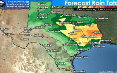
A complex of storms has formed over the past several hours across the northern Texas panhandle and are working their way southeast towards Amarillo to Canadian. The western most cell in the cluster is currently Tornado warned (not confirmed on the ground) and moving southeast at 30mph. This line of storms also carries the threat of golf ball size hail and winds in excess of 60mph. This line is expected to continue developing and travel southeast into the eastern panhandle and western Oklahoma over the next several hours. Have a way to receive weather warnings as you head to bed this evening.
Further south across the Permian Basin and west Texas regions, scattered supercell thunderstorms continue to hold on. There are no tornado warnings currently on any of these cells and it’s likely that we’ll begin to see them diminish somewhat in intensity by just after midnight. Until then, they will continue to bring the threat of large hail over 2 inches, dangerous winds in excess of 60mph, frequent lightning and very heavy rain with the potential for localized flash flooding. Have a way to receive weather warnings as you head to bed this evening.


0 Comments