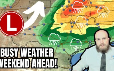
Light rain and snow brought temporary relief from our ongoing wildfire outbreak on Thursday in the Texas Panhandle. Precipitation tempered fire behavior and allowed for some rest for local residents. That rain and snow have departed, and now we wait to see how long it will take for the grass to dry out ahead of a dry, windy weekend.
Grasses (fuels) across the Texas Panhandle, West Texas, and the Permian Basin remain mostly dormant. Most of yesterday’s precipitation won’t help reduce the wildfire threat beyond the time it takes for the sun to dry out the grass. However, the rain/snow has made soils soft and muddy, making it more difficult for heavy equipment operators and firefighters. Vehicles may get stuck in the mud more easily, hampering firefighting efforts to some degree. Over the weekend, this will be an issue for ongoing and new wildfire incidents. Today’s weather should be excellent for aerial firefighting.
Temperatures across Texas will return to the 70s and 80s today and continue in that range through early next week. Winds should remain on the light side today. That’ll change tonight through Saturday and Sunday. Winds will be out of the south/southeast across the eastern half of Texas. Behind the surface dryline, the western half of Texas will experience southwesterly winds. Humidity values on Saturday and Sunday will likely drop to 5-15%. Wind gusts may exceed 30 to 40 MPH at times. Combined with very warm temperatures, those conditions will support rapid spread rates and strong resistance to fire-control efforts. Spotting will become an issue. The wildfire threat will include the Texas Panhandle and the western third of Texas. We’ll need to watch for new ignitions across Northwest Texas, West Texas, the Big Country, Concho Valley, Permian Basin, Davis & Guadalupe Mountains, the Trans-Pecos, Big Bend, and Borderland (Far West Texas, El Paso) by Sunday.
The weekend should be dry across Texas. We’ll see clouds increase tonight, with a bit of fog by morning for the state’s eastern half. The fog will burn off by mid-morning Saturday, with upper-level clouds continuing. Our next weather-maker will arrive on Monday and Tuesday. The chance for scattered showers and thunderstorms could impact the eastern third of Texas.
We’ll continue doing daily Texas Weather Roundup videos over the weekend and post further updates as needed.
My FREE & AWESOME weather app for radar/alerts/more: https://texasweather.app/
My website, also with radar: https://texasstormchasers.com
The 24/7 Texas weather tracker & music: https://www.youtube.com/watch?v=lNZuPEWS5AI&t=0s
Storm chaser videos: https://www.youtube.com/texasstormchasers
Facebook: https://www.facebook.com/TxStormChasers
TikTok: https://www.tiktok.com/@texasstormchasers
X (Twitter): https://twitter.com/TxStormChasers
#texas
#texasweather
#weatherchannel
#stormchasers
#houston
#austin
#dallas
#georgetown
#roundrock
#eaglepass
#dfw
#dfwmetroplex
#gorillahail
#hail
#rain
#riograndevalley
#supercell
#texasstormchasers
#texasweather
#texoma
#today
#todaynews
#todaysweather
#tornado
#txwx
#TexasWildfire
#weatherforecast
#wildfire
#crashythecoldfront
#winter
#baldyinchief
#WUI
#TexasPanhandle


Good Friday, Y’all! Did you enjoy yesterday’s little return to cooler weather?
No! Ready for Spring! 🌼🌱🌷
Hola!
Nope
Thanks David