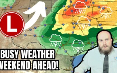
Dangerous fire weather conditions have returned to the western third of Texas. An acrid airmass has settled into the region, with humidity dropping into the single digits this afternoon. There will not be much recovery tonight, so that fire behavior will remain active. Wind gusts up to 40 MPH will be possible out of the southwest. That’ll remain the case until Monday morning when a northerly wind shift will arrive. In the afternoon, high temperatures will top out in the 70s and 80s. We’ll do our best to rapidly disseminate information about any breaking developments with ongoing wildfires and any new starts we may have to deal with this weekend. Though the focus is on the Panhandle, we warn folks that the risk does include the western third of the state – not just the Texas Panhandle.
Dry, warm, and windy conditions will envelop all of Texas this weekend. Some chance for storms will return to the eastern third of the state Monday night into Tuesday morning. Some storms may produce hail. We’ll monitor data and refine the forecast for precipitation over the next two days. Next week looks warm, with a continuation of our active weather pattern. Welcome to the early days of spring.
My FREE & AWESOME weather app for radar/alerts/more: https://texasweather.app/


Dangerous wildfire danger
🙏🙏🙏