
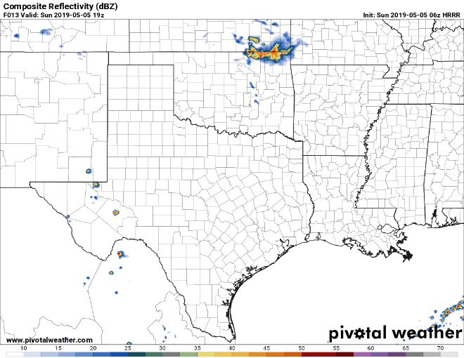
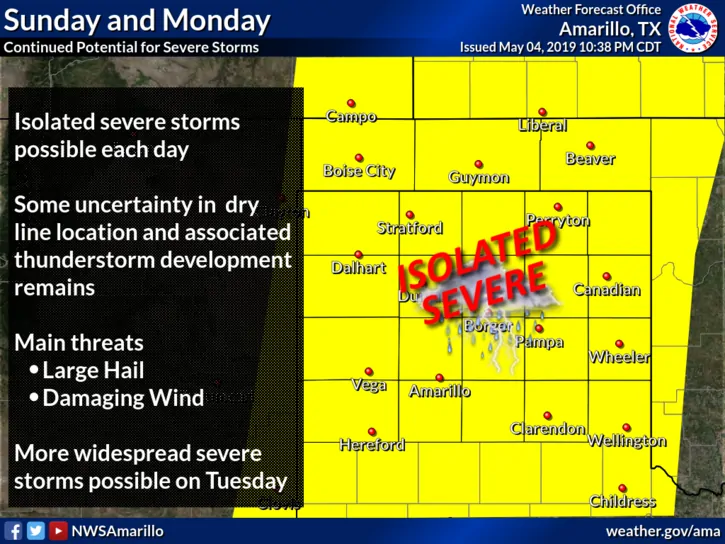
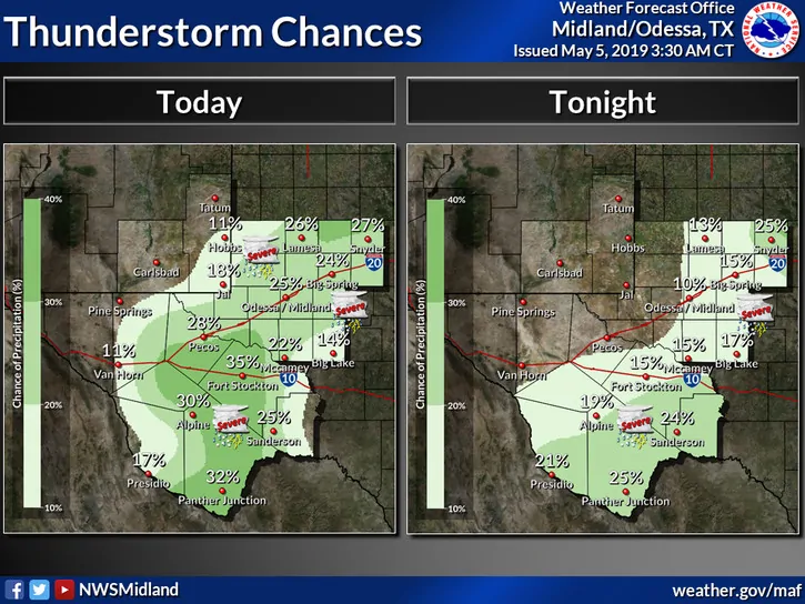
The Texas panhandle and western Texas regions will have a chance once again of seeing strong to severe storms fire up along the dryline this afternoon. The Storm Prediction Center has placed a Slight Risk (Level 2) for severe weather from the northern Texas panhandle all the way down into the Big Bend region. Storms today are expected to be scattered to widely scattered with the main threats being large to very large hail and damaging winds. The region expected to see the greatest coverage of storms will be from about Midland south into the Big Bend Region. Further north areas along and east of Amarillo down to Lubbock will see less coverage, but don’t let that fool you…they’ll still have the potential to become severe. The tornado threat is low but cannot be completely ruled out especially across parts of the rolling plains east of Lubbock and possibly up into the eastern panhandle around the I-40 corridor where remnant outflow boundaries exist from yesterday’s storms. These storms will also be slow moving, so the risk for localized flooding will be an issue once again. Once the sun sets and we begin losing daytime heating, we’ll begin to see storm intensity decrease within a few hours and most of the activity dying out around midnight. As David mentioned yesterday, the dryline across western Texas will remain active through at least Wednesday before we see an eastward shift to the threats, so just remain prepared for the threat of severe weather across the region for the next several days.


0 Comments