
A line of strong to severe thunderstorms erupted earlier this afternoon over the northwestern Texas panhandle between Texhoma and Adrian. The most severe cell is currently parked over the town of Harley bringing flash floods and 2+ inch hail. This storm is also being monitored for possible tornado development as evidence of rotation is showing up on radar. No confirmation of any tornado from local storm spotters, but it’s not out of the realm of possibilities over the next hour or so. These storms are expected to die out after sunset and loss of surface heating. While the line may try to make a run at Amarillo, it’s likely they’ll die out considerably before reaching the metro area.

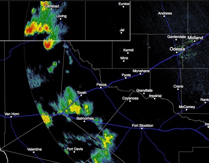
Across west Texas, storms have also developed…nothing too significant being reported other than some gusty winds, small hail and localized flash flooding. These are also expected to die out shortly after sunset and loss of daytime heating.


0 Comments