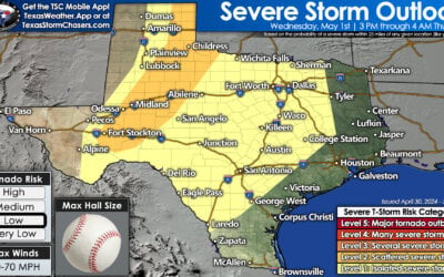
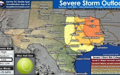
A weak upper level low continues to spin across west Texas this morning and will continue to enhance chances for rain across the region through Monday. A weak surface boundary stretched across the northern Texas panhandle will also provide a focus for storm development across the region once again by later this afternoon and into the evening hours. While a majority of the severe weather chances today will stay well off to the north across northeastern Colorado and western Nebraska, there is a chance for a few isolated strong to severe storms to impact the northern panhandle region later this afternoon and evening. If stronger cells manage to develop, these would carry the threat of downburst winds, frequent lightning and brief heavy downpours. Most of the activity is expected to begin to die out within a few hours after sunset. Further south along the coast of southeast and south central Texas, showers are still possible this afternoon; however, overall activity is expected to be less than what we saw yesterday afternoon. North central Texas could see a few scattered pop-up showers, but coverage will be minimal at best.

Simulated Radar through 10pm
Highs today, once again seasonal across much of the state. The exception to that will be across western Texas where highs in the upper 80s and top out a few degrees below average for this time of the year mainly due to cloud cover and scattered rain chances through the early afternoon hours. The Heat Index will inch up a bit over southeast Texas where values reaching around 105 will be possible by peak heating this afternoon…but that will be limited by how much cloud cover and spotty rain chances are realized.
For the work week ahead, we’re still looking at several chances for rain to impact the northern half of the state. This will by no means be a major rain event, but a stalled frontal boundary stretched across the northern panhandle down across the Red River valley region of north Texas is expected to provide a focus for rain and storm developing Monday and into Tuesday. Not everyone will see rain, but for those that do, it could provide at least a small drink for your lawn or pasture. Overall, rainfall accumulation is expected to be relatively low and less than 1/2 inch for most and severe weather is not expected.


0 Comments