
Very heavy rain has continued to produce flooding overnight in South Texas and the Rio Grande Valley. After several days of heavy rain plaguing the Texas coast, we have light at the end of the tunnel. Today should be the last in a series of days with insane rainfall rates. We will still have scattered thunderstorms capable of producing heavier rains, but not on a widespread scale.
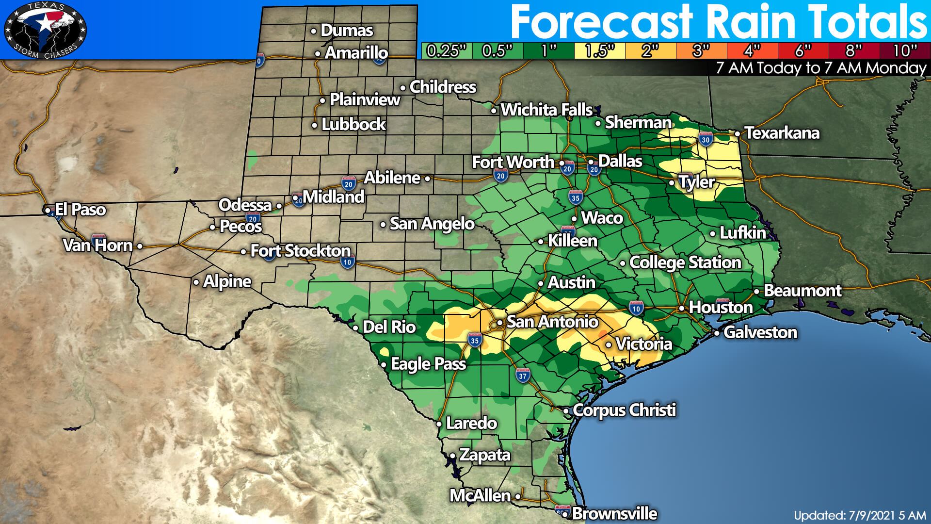
An additional one to three inches of rain will be possible in South/South-Central Texas and the Coastal Plains. We note the Weather Prediction Center has Deep South Texas looking deceptively dry. Popup storms may occur this afternoon and tonight, which could drop localized heavy rain. Otherwise, one-half to one and a half inches of rain may occur tomorrow night and on Sunday across eastern North Texas and Northeast Texas.
Localized flash flooding will remain possible this afternoon through Saturday across the Rio Grande Valley, South Texas, South-Central Texas, the Coastal Plains, and Southeast Texas. Scattered storms will likely continue tonight and into Saturday – and we will have to watch for localized flash flooding. River flooding will remain a significant hazard through the weekend and into early next week as flood waves move downstream.
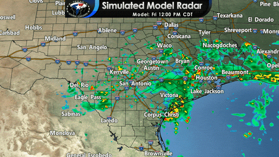
Isolated to scattered thunderstorms are possible today as far north as the Edwards Plateau, southern North Texas, and East Texas. Organized severe thunderstorms are not expected. Any summer thunderstorm can produce dangerous lightning, a quick one to two inches of rain, and localized winds over 45 MPH. Those enjoying their time outdoors should move into a building or vehicle if a storm approaches. Those pesky ‘popcorn storms’ should dissipate not long after sunset.
Isolated to scattered precipitation is expected tomorrow from the Edwards Plateau east to the Golden Triangle in Far Southeast Texas. Rain chances will actually decrease once you make it south into Deep South Texas and the Rio Grande Valley. It should not rain all day at any one location, but a quick one to two inches of rain is possible if you end up under a popup storm.
On a different ‘front’ and further north, we will have to keep an eye on storms developing in Oklahoma tomorrow evening. A weak cool front looks to fire off a line of strong to severe storms late tomorrow afternoon in northern Oklahoma. Those storms will likely grow upscale into a ‘squall line’ that will accelerate south tomorrow evening.
We will likely have strong storms moving south into portions of West Texas, Northwest Texas, Texoma, and North Texas after 9 PM (probably early Sunday morning for North/Northeast Texas) tomorrow.
We will have to see exactly where the strongest storms fire up in Oklahoma, as that will dictate where they cross the Red River into Texas tomorrow night. Regardless, there will be a nice lightning show looking north tomorrow evening. As storms move into Texas tomorrow evening, the strongest may be producing localized damaging winds, dime to quarter size hail and brief heavy rain.
Scattered storms are likely to continue into Sunday across portions of the northern half of Texas. Some storms may be strong with hail, localized damaging winds, and heavy rain. Unfourtinietly, tomorrow night’s storms will largely dictate where the highest storm chances are on Sunday.
We will hopefully have a clearer picture later today or by tomorrow morning. Those using our free mobile app and who have enabled notifications will get our latest weather blogs straight to their device. The same thing goes for those who have ‘subscribed’ to notifications from our website.


0 Comments