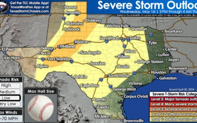
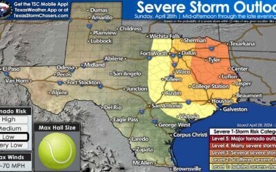
A tornado watch is in effect through 1 PM for portions of the Hill Country, Central Texas, North Texas, the Brazos Valley, and Southeast Texas. Kerrville, San Antonio, Austin, Killeen, Waco, Waxahachie, Terrell, College Station, Fairfield, and Conroe are a few towns included. This does not include D/FW. Additional watches are likely later on today, but this is where the threat for severe weather is relatively highest right now. I’ll get a more detailed forecast update out as time allows over the next hour or two.
Tornado Watch Number 108
NWS Storm Prediction Center Norman OK
555 AM CDT Sun Apr 2 2017
The NWS Storm Prediction Center has issued a
* Tornado Watch for portions of
Parts of central and east Texas
* Effective this Sunday morning and afternoon from 555 AM until
100 PM CDT.
* Primary threats include…
A few tornadoes likely
Scattered damaging winds and isolated significant gusts to 75
mph possible
Scattered large hail and isolated very large hail events to 2.5
inches in diameter possible
SUMMARY…A large cluster of thunderstorms that has persisted
overnight west of San Antonio will likely begin to organize into
more of a bowing line with time, with an attendant increase in the
damaging wind risk. Embedded circulations will also pose a tornado
risk. Ahead of the line of storms, more isolated cells now forming
in the Houston to Austin corridor will shift northward with time,
and some could become supercells capable of producing a few
tornadoes later this morning. Large hail will also be possible with
the stronger storms.


0 Comments