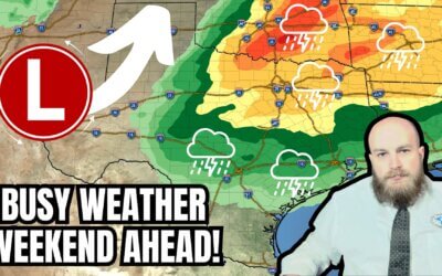
Shortly before 9 PM we’re down to a couple severe thunderstorm warnings in the state. A large area of rain and thunderstorms continue to move northeast across Northeast Texas and East Texas. Several locations have received 3 to 5 inches of rain today with flash flooding an issue. Be mindful of flooded roadways and that you might not be able to see them easily at night. I myself almost had an issue with a flooded road on a chase today. Some storms may produce quarter size hail and localized damaging wind gusts over 60 MPH. The tornado threat – while not zero – has diminished compared to this afternoon in those two regions.
A squall line is in the process of developing from near Paris southwest through Terrell to Waco and Fort Hood. This line of storms is slowly pushing east. Some storms may produce hail up to the size of quarters and localized damaging wind gusts over 60 MPH. An isolated tornado is not out of the question but the overall tornado threat is diminishing. Localized flooding could occur especially in locations that have already received heavy rain today.
Overnight it’s possible a squall line takes shape in South-Central Texas into East Texas. Some of the storms in that squall line could be strong to severe with quarter size hail, damaging wind gusts over 60 MPH, and isolated tornadoes. The severe weather threat will not be as high compared to storms earlier this afternoon. Flash flooding is also a threat in East and Southeast Texas. The squall line itself could approach the Houston metro between 4 AM and 8 AM Saturday as it pushes into Southeast Texas and the Coastal Plains overnight. It wouldn’t be a bad idea to have a way to receive weather warnings tonight. WeatherRadio by WDT is a wonderful app my family and I personally use.


0 Comments