Here is a general timeline of what the weather radar *MAY* look like at various points over the next two days. The general message remains the same – hazardous travel conditions are likely over the northern half to northern two-thirds of Texas – really going downhill this evening, tonight, and on Thursday. Temperatures will not rise above freezing until Friday (or Saturday where we have big-time snow & ice accumulations). Please visit our morning blog for a detailed accumulation forecast. With the Groundhog Day Winter Storm now beginning, we’ll be switching into ‘nowcast mode’. We’ll have video updates available throughout the evening and overnight.
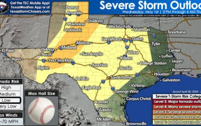
Isolated Storms Back In West Texas Today; Higher Severe Weather Risk Tomorrow
Isolated severe thunderstorm chances return to western portions of Texas today. On Wednesday and Thursday,...


0 Comments