
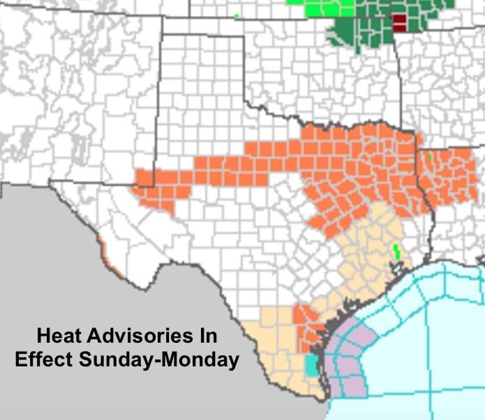
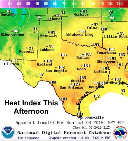
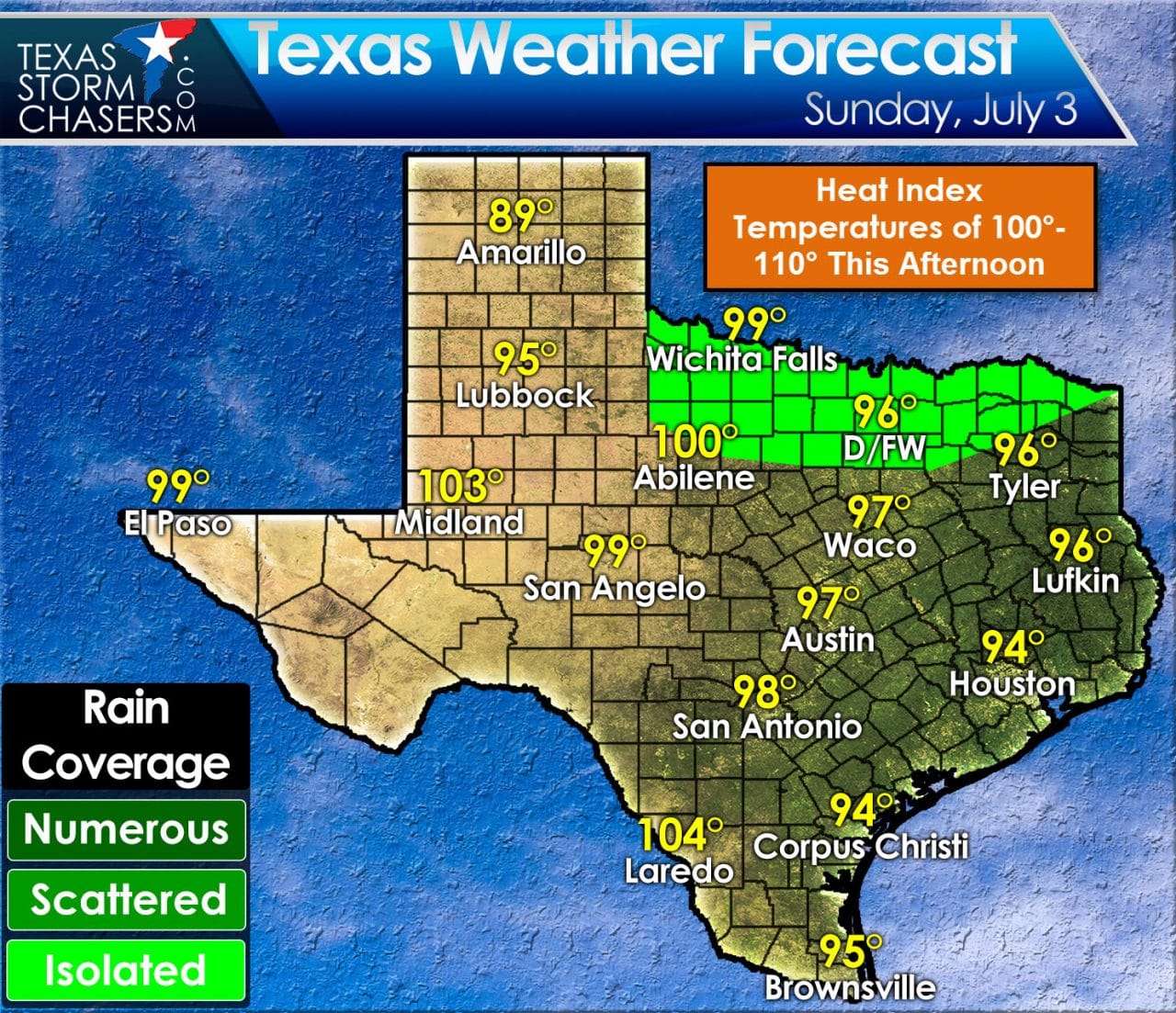
Yep. Another hot and muggy day in the forecast with Head Advisories currently in effect for much of north central, northeast, rolling plains and a small portion of south central Texas. Heat Index values….what the temperatures “feels” like….are expected to reach between 105 and 110 across the Advisory areas this afternoon. We can’t say it enough…stay hydrated if you have outdoor activities planned today, and make sure outdoor pets and livestock have access to water and shade. The saving grace this afternoon will be the wind which will be gusty at times up to around 20-25mph and will help some of that sweat evaporate and keep us a little cooler.
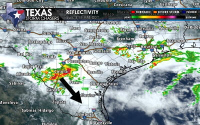
We do have a chance for seeing a few strong to severe storms across parts of north Texas this afternoon. A cold front currently stretched across northern Oklahoma and into the panhandle region will slowly drift south today. A piece of upper level energy is expected to arrive later this afternoon which will likely generate a few scattered strong to severe storms along and south of the Red River. Most of this activity is expected to remain north of the I-20 corridor; however, we can’t rule out a few strong storms south of I-20 and just west of the I-35 corridor. Most of the short-range guidance develops storms just west of the Dallas/Ft. Worth metro area by late afternoon and brings them into the metroplex region after 6pm. Damaging winds and lightning will be the main threats along with heavy downpours. This may have an impact on 4th of July fireworks celebrations planned this evening in the DFW metro, so before you fight traffic to get to your favorite spot, better check the radar!
Simulated Radar through 8pm This Evening

0 Comments