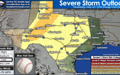
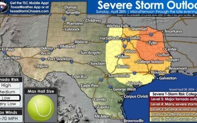
Good morning and happy Saturday everyone! The focus for severe weather today will once again be across the eastern panhandle into northwest Texas later this afternoon along the dryline. The Storm Prediction Center’s Severe Weather Outlook includes an Enhanced Risk (Level 3) for northwest Texas which covers the Hwy 287 corridor between Electra to Childress and southwest along the Hwy 380 corridor from Haskell, Aspermont and over towards Jayton. Surrounding the Enhanced Risk, we have a Slight Risk (Level 2) which covers the area from Wichita Falls down to San Angelo, then up into the south plains and panhandle along and east of the I-27 corridor, then expanding into the northern panhandle north of I-40. By early afternoon, the dryline is expected to run north/south in the vicinity of the I-27 corridor. Weak capping along the dryline by early to mid-afternoon should allow for initially scattered storm development which is expected to quickly form into a squall line and move east as we head into the late afternoon and early evening hours. The main threats with these storms will be damaging winds and very large hail up to the size of baseballs. The tornado threat is low, but cannot be ruled out completely, especially if we have more discrete cells develop out ahead of the main line of storms. Storm chances south of the I-20 corridor and down into the Big Bend region should remain more isolated, but will also carry a threat for downburst winds and large hail. We expect to see a Severe Thunderstorm Watch issued for the eastern panhandle and northwest Texas by early afternoon, and we’ll update again at that time.
HRRR Forecast Model Simulated Radar Loop through 1am


0 Comments