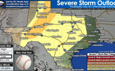
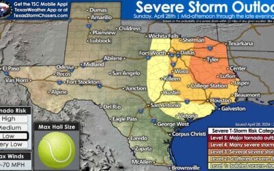
Widespread light to moderate rain is moving northeast across the Permian Basin, West Texas, and the Texas Panhandle this morning. Most of this activity is light in nature. We are seeing heavier showers and storms on Interstate 20 in the Permian Basin this morning. Some of the heavier activity may produce locally heavy rain and minor flooding. Severe weather, in the form of damaging wind gusts and hail, is not expected with this morning’s activity. It should continue to make progress to the northeast through the mid-morning.
Temperatures continue their daily climb and will return to near normal for late August across the eastern two-thirds of Texas. High temperatures should top out in the middle to upper 90s with 100s in the Rio Grande Valley & Deep South Texas. Folks in the western third of the state will top out in the 80s thanks to clouds and continued rain chances.
Besides an isolated shower in Southeast Texas this afternoon rain chances will be confined to the Texas Panhandle, West Texas, the Permian Basin, and Pecos Valley today. Scattered thunderstorms with locally heavy rain are forecast today and tonight in much of the Texas Panhandle, West Texas, the Permian Basin, Pecos Valley, Davis Mountains, and the Borderland. Some activity today may produce locally heavy rain with a small risk of flash flooding. In addition to the heavy rain potential a few storms later this afternoon may become strong with gusty winds and small hail. Rain chances continue tonight over the same areas. In fact, storms with gusty winds and heavy rain may become more numerous overnight in the Texas Panhandle.
The Atlantic Basin is heating up and our primary focus will be on Invest 99L. Located near the Leeward Islands a tropical wave continues to move west/northwest. Hurricane Hunters investigating the system yesterday did not find an organized low-level circulation. Conditions are modestly favorable for organization over the next two days, but become more favorable for organization into a tropical cyclone this weekend. Current projections place Invest 99L off the southeast coast of Florida, near the Bahamas, later this weekend. From there confidence in any particular direction or intensity of the storm remain low. Its possible 99L doesn’t become more than a tropical depression by this weekend. From Florida 99L could swing northeast back into the Atlantic Basin, or more west into the Gulf of Mexico. We’ll post a more detailed blog on Invest 99L and its potential future later this morning here on our website. Needless to say, all those who live on the Gulf and Atlantic coasts should keep an eye on the tropics over the next two weeks.


0 Comments