
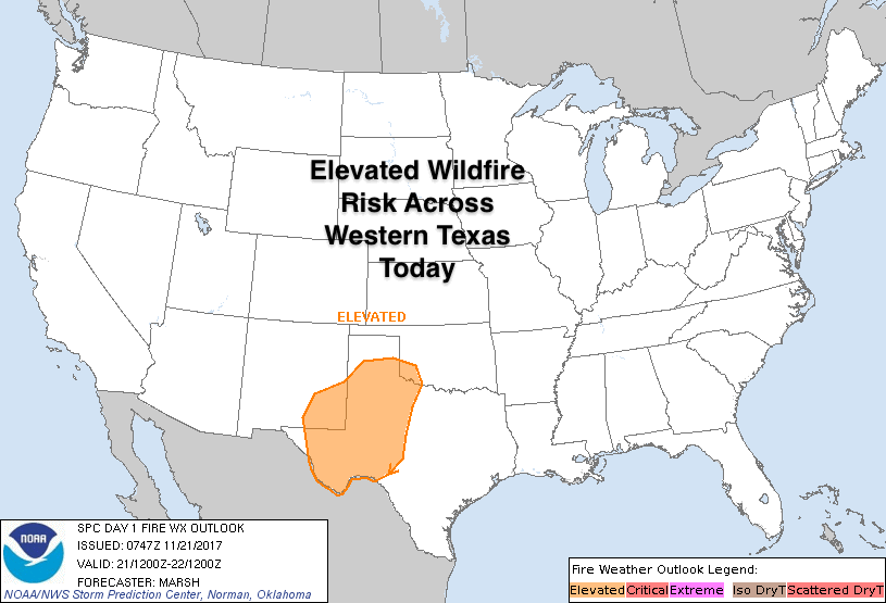
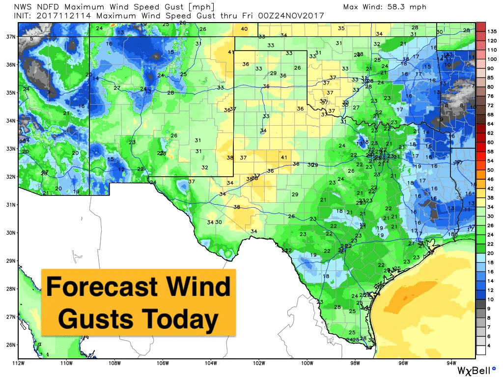
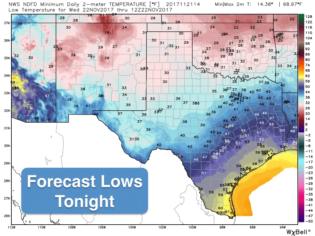
A cold front has pushed through the panhandle region this morning and will continue to drop southeastward across the state this afternoon and evening hours. Winds will increase behind the front with gusts in the 30 to 40mph range expected across the western half of the state as we get further into the late morning to mid-afternoon hours. Drier air arriving behind the front will drop relative humidity values down into the 20-30% range which will mean an elevated threat for wildfires across parts of the panhandle and western Texas. Residents in the highlighted area on the graphic below will need to exercise extreme caution with anything that could cause a spark or flame. Rainfall chances with this passage of this front are slim…parts of southeast Texas will see a few showers today…but other than that, we remain mostly dry for Thanksgiving travelers. Temps will not drop significantly behind this front, so we’ll continue to see highs at or above seasonal averages with chilly overnight lows for all but deep south Texas.


0 Comments