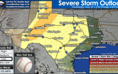
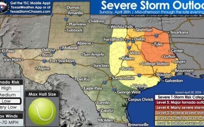
Saturday is shaping up to be an active day in the weather department across Texas. Thunderstorm chances will primarily be along and east of Interstate 45 in the morning hours. By the early afternoon, storms will have exited Texas to the east and the focus will shift to strong westerly winds. Clouds will clear quickly behind the dryline as it surges east Saturday morning. As temperatures quickly climb we’ll see strong winds aloft start making their way down to the surface. A high wind event is anticipated on Saturday across the western two-thirds of Texas with an associated heightened wildfire threat. Last but not least, we could also have a quick hitting round of snow impact the northern Texas Panhandle. We’ll talk about each hazard in detail below.
Saturday morning’s severe weather threat
Compared to prior days the risk of strong to severe storms seems to be shifting to areas east of Interstate 45. A level one risk of severe weather is in place across much of East Texas and far Southeast Texas. A level two risk includes far Northeast Texas and far East Texas. Honestly, these ‘risk lines’ will probably shift in the coming two days as confidence increases on where a squall line will actually fire up.
If the line of storms is able to fire up farther west then the risk of some stronger storms would likewise shift west. However, trends have had the risk shifting farther to the east. This shift east is due to a cooler/less moisture-rich airmass holding in farther west and thus keeping instability values lower.

Simulated weather model radar from 6 AM Saturday to 12 PM Saturday. *This is only a simulation and considering we’re two days out it will likely change*
Once the line of storms fires up it’s going to book it off to the east. Individual storms within the squall line may be moving at more than 60 MPH. This will be a quick-hitting round of storms Saturday morning. I expect storms will be east of Texas not long after lunch-time. Skies will quickly clear as a dryline pushes off to the east. We do note that a fairly substantial severe weather event is possible across portions of Arkansas, Tennessee, and northern Mississippi. We’re going to be on the ‘starting line’ in East Texas, and storms won’t get up to peak intensity until they’re way outta here.
The big story on Saturday will be the wind
While the majority of the severe weather event on Saturday will be off to our east, the actual upper-level storm system will be passing overhead Texas. Skies will quickly clear as the dryline rapidly moves east Saturday morning. With around 10,000 feet above sea level will be in the 60 to 100 MPH range on Saturday. As skies clear and temperatures warm we expect some of those winds to transport down to the surface.
Wind gusts approaching 60+ MPH are possible on Saturday across the southern Texas Panhandle, all of West Texas, into the Big Country and Northwest Texas. Blowing dust and near-critical fire weather are expected. Winds of 40 to 50 MPH will be possible along and west of the Interstate 35 corridor from Oklahoma to Laredo.
Winds will start coming down in the late afternoon, especially across the western half of Texas. However, Saturday night will remain windy with winds gusting up to 40 MPH across the eastern half of Texas.
Critical Fire Weather Concerns on Saturday
Low relative humidity values, warm surface temperatures, and the aforementioned wind issue will promote near-critical to critical fire weather concerns on Saturday across West Texas, the Big Country, the Concho Valley, the Permian Basin, the Trans-Pecos, Southwest Texas, in the Edwards Plateau, and much of South Texas. Locations that have received measurable precipitation recently may have less receptive fuels, but the strong winds and warm temperatures on Saturday should also promote rapid drying and an uptick in ERC values.
Comparatively lower ERC values and more moist surface fuels should prevent a higher-end fire threat across Texoma, North Texas, into Central Texas. However, the meteorological conditions of high winds, warm surface temperatures, and low humidity values by Saturday afternoon will be favorable for rapid rates of spread. If surface fuels end up being more receptive than anticipated there would be a higher fire weather threat extending east to Interstate 35 in North Texas and Central Texas.


0 Comments