
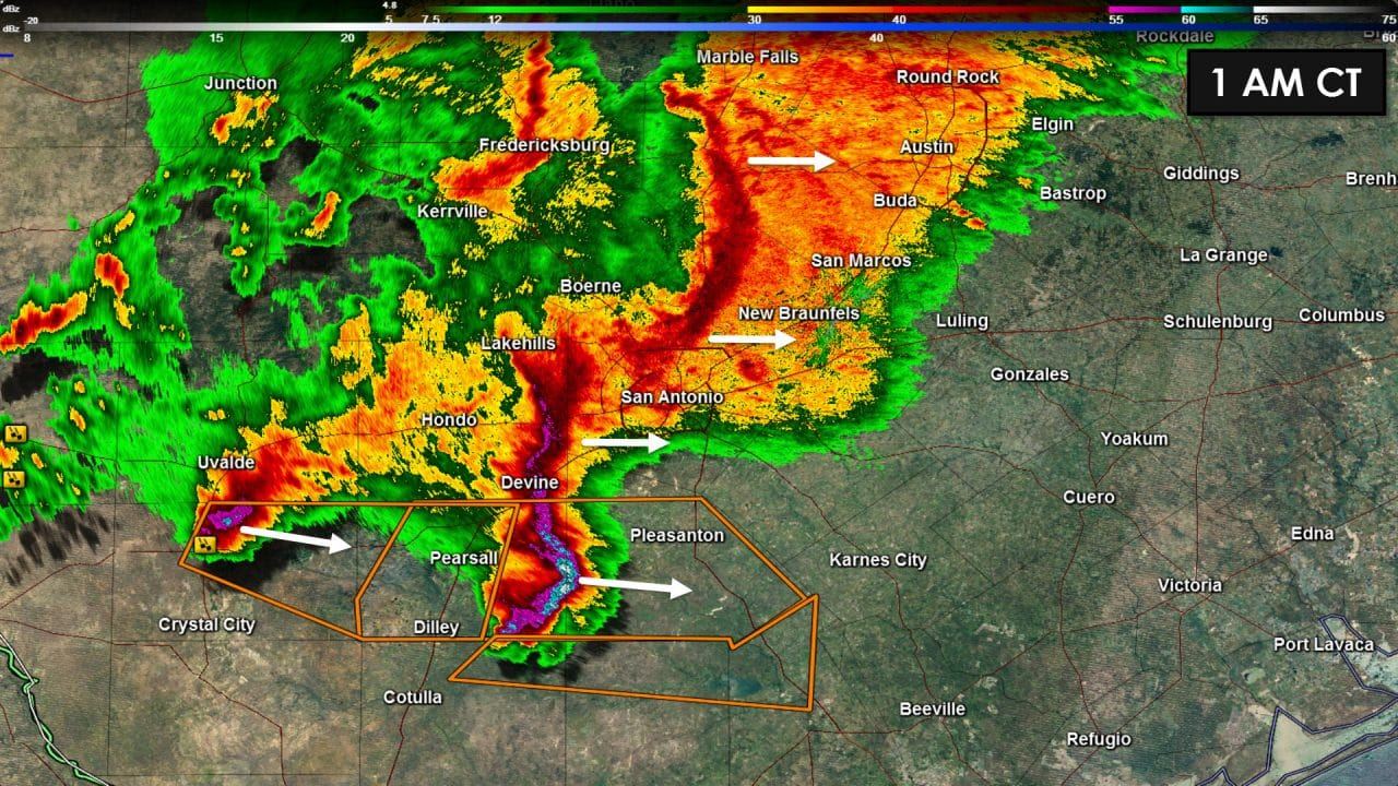
Rain has begun falling in both Austin, New Braunfels, and San Antonio. We’re watching a line of stronger showers and storms approaching I-35 from the west. A line of storms extending from Johnson City south to near Canyon Lake to near Hollywood Park could contain wind gusts up to 40-45 MPH. A second line segment is near Castroville. Both line segments are moving east at 40 MPH and could bring gusty winds to both Austin and San Antonio over the next hour. These storms are not severe but may bring wind gusts up to 45 MPH to some locations.
A severe thunderstorm with a history of producing damaging hail is located 15 miles east of Pearsall. This storm is approaching Highway 97 southwest of Jourdanton. As the storm moves east at 50 MPH it could impact Interstate 37 from Pleasanton to Campbellton in the next 45 minutes. Short-range model guidance suggests this storm will continue to be potent until it reaches the coast in a few hours.

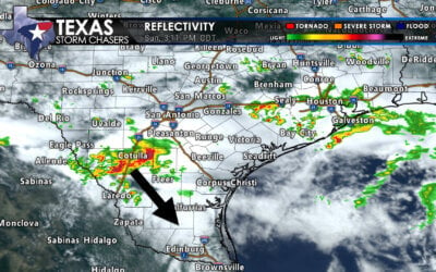
Widespread rain with a few thunderstorms are moving east into North and Central Texas. This activity is not severe nor do we expect severe weather thanks to a fairly stable surface layer. Minor street flooding is a possibility this morning. Meanwhile we have light rain/snow falling across parts of the Panhandle and South Plains. So far we haven’t heard of any accumulation reports but we shouldn’t have too many issues. Finally I’ll leave you with a simulated radar forecast from the 11 PM run of the HRRR weather model. Don’t take it too literally but it gives an idea of how things may progress this morning. Times are in the top-right of the graphic.
04Z HRRR – Simulated radar forecast this morning

0 Comments