
Here’s the latest severe weather outlook issued by the Storm Prediction Center for later today. We will have an updated one issued around 11:30 AM but I didn’t want to wait to post an updated blog. We continue with an enhanced risk of severe weather (3 on a 5 point scale) from Interstate 27 east/southeast through Northwest Texas into North Texas. A possible severe weather risk (level 2 on a 5 point scale) is in place for Central, East, and Southeast Texas.

At 10:15 AM we have a small cluster of thunderstorms moving southeast across the Red River near Sherman. These storms are not severe but do contain heavy rain and lightning. In terms of the forecast for this afternoon they will play a role. In all likelihood that storm is going to push an outflow boundary south to or just south of Interstate 20 this afternoon. That outflow boundary could be a focus point for thunderstorm development by mid-afternoon.
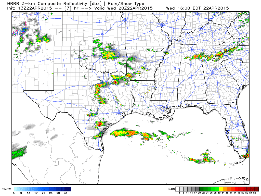
The High Resolution Rapid Refresh suggets that the outflow boundary will spark off scattered thunderstorms by mid-afternoon across Northeast Texas extending back southwest into North Texas. While this isn’t guaranteed I could see it happening. Should storms fire up on this boundary they would do so in an environment supportive of severe thunderstorms capable of large hail, damaging winds, and perhaps a tornado.

The main focus point for what will likely be severe thunderstorms will be just east of Interstate 27 from Amarillo to Lubbock by mid-afternoon at the intersection of the dryline, warm front, and low pressure area. These storms would likely be supercellular in nature with a threat for destructive hail, damaging winds, and a tornado threat. The high resolution weather models have been particularly hard-hitting on a southeastward moving storm from near Childress right down Highway 287 into North Texas this evening. Should that occur a significant severe weather threat would likely occur with that specific storm including a tornado threat continuing into the mid-evening hours. A small cluster of severe storms may develop by late evening in Northwest Texas/western North Texas as it continues to push southeast towards the D/FW Metroplex by midnight.
I do want to say today is not looking like a tornado outbreak nor a day where we should see many tornadoes. The primary threats will be large hail and damaging winds – but a few tornadoes are a possibility. The highest tornado threat will likely be with that area of supercells that develops around Interstate 27 and pushes southeast late this afternoon into this evening. Based on current short-term weather model guidance the tornado threat may actually increase after sunset and continue through about 10 PM.


0 Comments