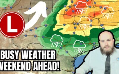
A tornado watch is in effect for Southeast Texas and the Golden Triangle through 9 PM. Strong to severe thunderstorms are developing on South-Central Texas’s leading edge of a cold front. Those storms will move east toward the Houston metro by dinner time. The strongest storms may produce damaging hail, strong wind gusts, and the potential for a few tornadoes. So far, we’ve been lucky and not dealt with any organized supercells ahead of this line. We’ll need to monitor trends since any storms that can organize ahead of the eastward moving squall line could become tornadic. The severe weather threat will end in Texas by mid-evening storms move east.
A blizzard is underway in the Texas Panhandle. Multiple road closures have been reported by TxDOT. You can get road conditions at DriveTexas.org. Snow will continue to fall through the evening hours. Wind gusts over 60 MPH in the Panhandle will result in near-zero visibility, blowing snow, and snow drifts.
Widespread winds gusting over 40 MPH are expected to continue or develop in much of Texas through Tuesday morning.
#amarillo
#dalhart
#dumas
#blizzard
#blowingsnow
#houston
#austin
#georgetowntexas
#roundrocktexas
#dfw
#dfwmetroplex
#gorillahail
#hail
#rain
#riograndeplains
#riograndevalley
#supercell
#texasstormchasers
#texasweather
#texoma
#today
#todaynews
#todaysweather
#tornado
#txwx
#TexasWildfire
#weatherforecast
#wildfire
#crashythecoldfront
#winter
#freeze
#spinnyspinnydoomdoom
#texasweatherroundup


0 Comments