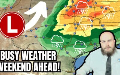
Two busy days of severe storms are now expected across several regions of Texas. Thursday is shaping up to be a significant-risk day with the possibility of hurricane-force straight-line winds, tornadoes, and very large hail.
However, the threat of a few severe storms has increased for today now too. In fact, a few severe storms may be underway across southwestern North Texas by 10 AM, with those possibly moving northeast toward the D/FW Metroplex by lunchtime. A couple intense thunderstorms are possible this afternoon in Northeast Texas. A quiet stretch is expected tonight into Thursday morning before we see the threat ramp up again around lunchtime, though that may need to be pulled back into the late morning hours.
Just like this past Sunday, we’re going to see very strong winds occur across Texas unrelated to thunderstorm activity. Some of those winds will likely result in blowing dust, and another round of dust being blown east Thursday night into Friday for areas in the eastern two-thirds of Texas. The #TexasWildfire threat will also increase as humidity values drop behind tomorrow’s storm system.
For ease of viewing and the ability to quickly scroll through…
00:00 – Intro
00:29 – Today’s Severe Weather Outlook & Threats
01:05 – Today’s severe weather timing & locations
02:21 – Thursday’s Severe Weather Outlook & Threats
04:10 – Thursday’s #storm timeline
07:04 – Strong non-storm winds across Texas tomorrow into Friday morning
07:46 – Texas #Wildfire Outlook
09:01 – Storm chasing and live coverage plans; closing thoughts
Also, follow our second channel for routine forecast videos, live radar, and chase throwbacks: @TexasWeatherCenter
EMAIL us at [email protected] for licensing inquiries!
**


0 Comments