
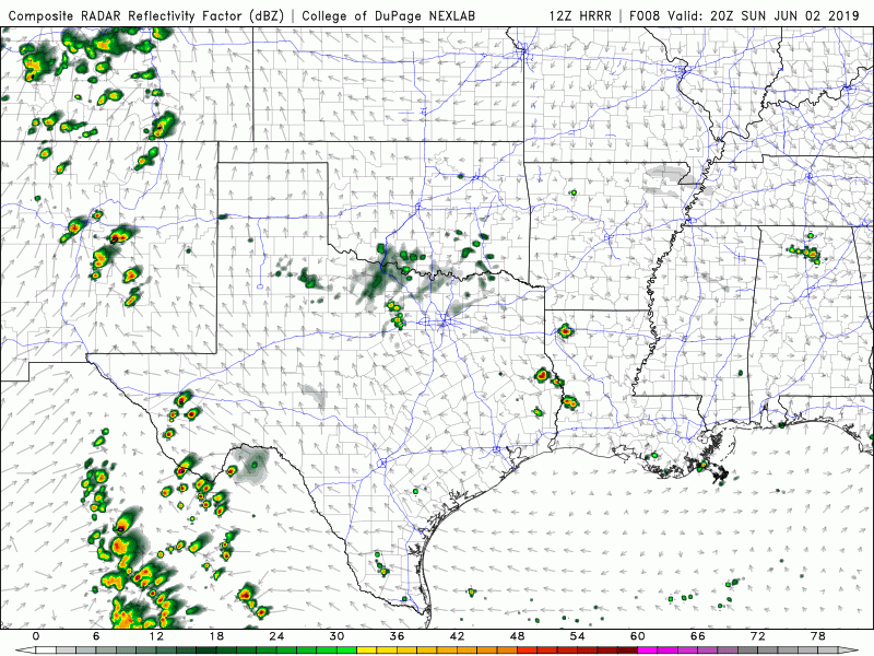
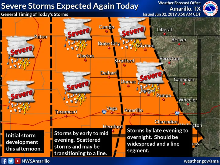
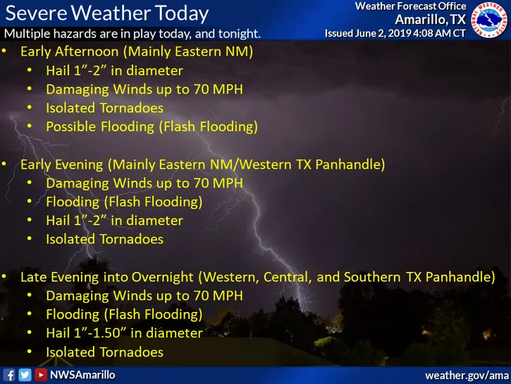
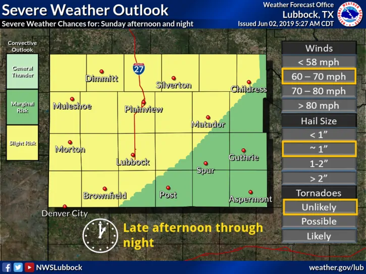
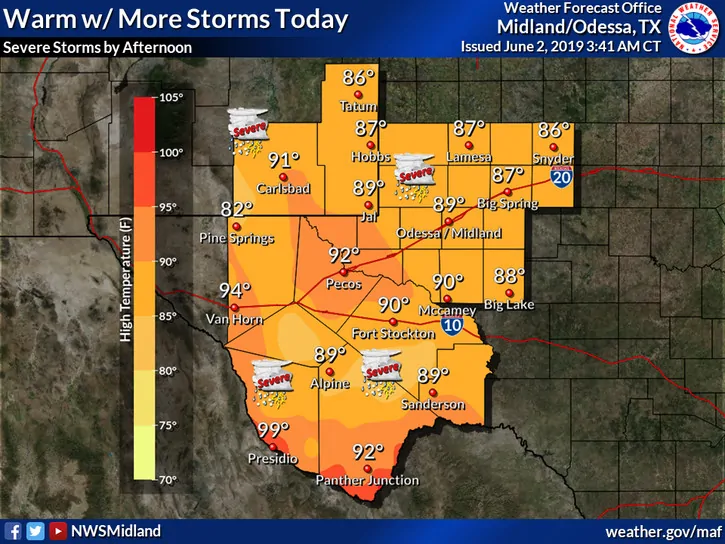
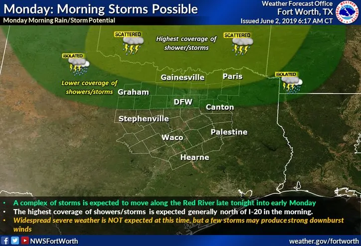
While weak high pressure will keep much of central, east and southeast Texas free from the threat of severe weather today, the western half of the state will see another round of storms later this afternoon and evening. Similar to yesterday, as we reach peak daytime heating, we’ll see storms fire up across the trans-pecos region of far western Texas and up into the eastern New Mexico front range by mid to late afternoon (1 – 4pm) which will migrate east through the late afternoon and early evening. The Storm prediction center has outlined a majority of far western Texas and the panhandle region with a Slight Risk (level 2) for severe weather, the main impacts being large hail, damaging wind gusts, heavy rainfall and the threat of localized flash flooding. The tornado threat is low, but non-zero, so we’ll need to keep an eye on that as we get into the early evening hours as the storms from eastern New Mexico begin to push into the panhandle region. While the storms that will develop later today across the New Mexico front range will begin life as isolated clusters with some showing supercellular tendencies, by the time they reach the western panhandle region, they are expected to merge into squall line segments. This will increase the threat of damaging winds, but there is a small threat some could produce embedded brief tornado spin-ups especially along the leading edge of the squall lines. Overall though, flash flooding, hail and damaging wind gusts will be the main issues with the squall line segments as they transition east across the panhandle and far western Texas regions during the early to late evening hours. This activity will continue into the overnight hours, especially up along the Red River across northwest into north central Texas by early Monday morning, but will tend to decrease in intensity as we begin to lose instability from daytime heating. Storms overnight will carry mainly a wind, heavy rain and frequent lightning threat. Elsewhere, a few chances for typical summertime pop-up showers and storms are possible further east across central, north central and northeast Texas where surface heating is greatest. These will just possess a brief heavy rainfall and lightning threat should anything develop later this afternoon. Looking ahead, this pattern will continue to repeat itself over the next several days before shifting east and bringing the threat of storms and heavy rainfall into north central, central Texas by mid-late this week.
Simulated Radar Forecast Look from 3pm this afternoon through 11am Monday
(keep in mind this is just a forecast model)
NWS Forecast Graphics


0 Comments