
A new tornado watch has been issued for far Northeast Texas and parts of East Texas until 4 AM. This watch runs north of a Jacksonville to Lufkin to Hemphill line and continues east into Arkansas and Lousiana. At the moment of this writing, its mostly quiet as our tornadic supercell that impacted Winnsboro to De Kalb has now moved into Arkansas. Other storms are behaving themselves for the moment, but I can’t rule out additional warnings until the main storm system moves east out of Texas.
For reference – thunderstorms are firing just east of the dryline from near Paris to Kaufman to Waco. Those storms may grow upscale into a squall line that will march east tonight. Some storms in that line may be severe with damaging straight-line winds and a low threat for brief tornadoes. What is of greater concern for any potential tornadic threat tonight is any discrete storms across Northeast and East Texas. Wind profiles remain favorable for rotation, but instability values are limited. However: Should anyone storm find the right balance of instability and wind shear it could become supercelluar and pose a tornado threat.
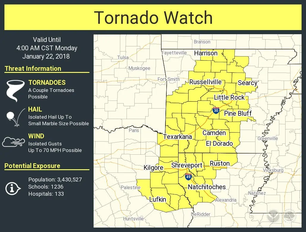
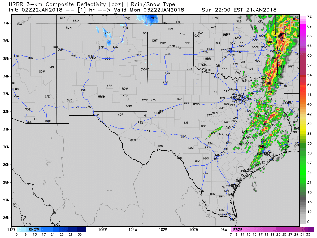
I’m hoping we don’t have too many additional issues tonight, but it only takes one storm to cause problems. Have a way to receive weather warnings overnight and we’ll be here to keep you informed. I just finished up an hour-long facebook/twitter live stream covering the De Kalb tornado situation. If needed we’ll do more of those tonight, but hopefully, it won’t be needed. Here is a simulated radar loop from the HRRR model through Monday morning and the full watch statement from the Storm Prediction Center.
Tornado Watch Number 2
NWS Storm Prediction Center Norman OK
1000 PM CST Sun Jan 21 2018
The NWS Storm Prediction Center has issued a
* Tornado Watch for portions of
Western and central Arkansas
Northwestern Louisiana
Extreme northeastern Texas
* Effective this Sunday night and Monday morning from 1000 PM
until 400 AM CST.
* Primary threats include…
A couple tornadoes possible
Isolated damaging wind gusts to 70 mph possible
SUMMARY…Ongoing broken band of supercells will continue to spread
eastward overnight, with some tendency to grow into more linear
structures with time as the cold front eventually overtakes the warm
sector storms. A couple of tornadoes and damaging gusts will be
possible with the persisting supercells and embedded circulations
within line segments.


0 Comments