
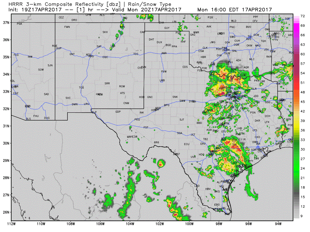
North Texas – Heavy rain and thunderstorms will continue to push south across the area this late afternoon and evening. While widespread flooding is not expected to be an issue, we have, and will continue to see, localized areas of flooding on roadways and low elevation areas for the next couple of hours with widespread 1 to 2 inches of rainfall likely along with isolated totals in excess of 2 to 3 inches. Strong storms will continue to be likely mainly south of the immediate DFW metroplex as the cold pool from today’s batch of storms continues to quickly usher the storms to the south. Gusty winds, frequent lightning and possibly scattered occurrences of hail up to around 3/4 inch will be possible as the storm move south of the I-20 corridor across southern North Texas. Storms are expected to begin dying out before midnight after we lose daytime heating.
South central Texas/Coastal Plains – This area of heavy rainfall and thunderstorms will continue to push east/northeast across the coastal plains/central Texas region for several more hours and possibly through the overnight hours, although storm intensity is expected to diminish. Here, localized flooding will be the main issue along with frequent lightning. Not everyone will see heavy rainfall, but those that do could pick up 1-2 inches.
Here’s a look at how the radar may shape up over the next 15 hours:
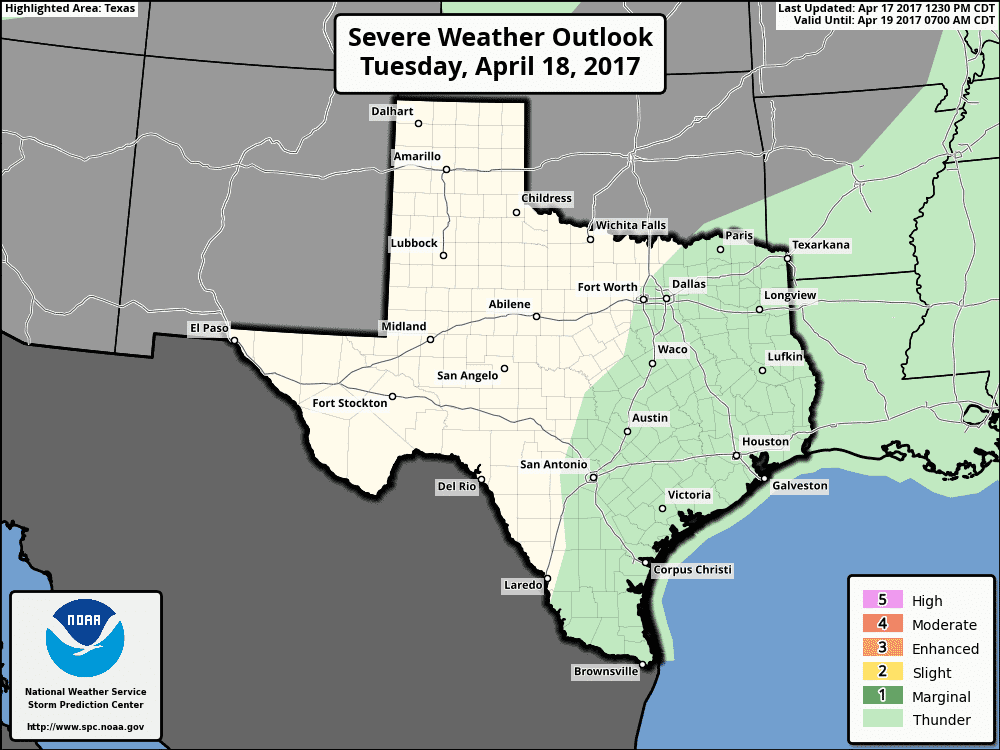
Rain chances return again tomorrow for mainly the southern half of the state for the coastal plains. Widespread rainfall is not expected…mainly just scattered showers and storms during peak daytime heating along the seabreeze front.


0 Comments