
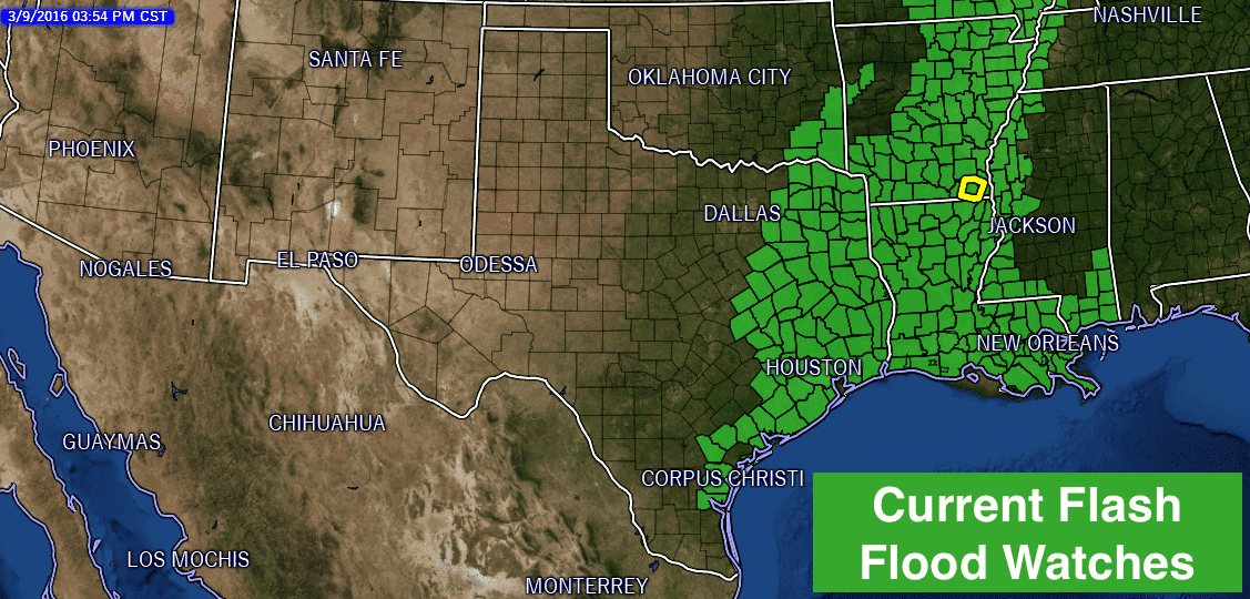
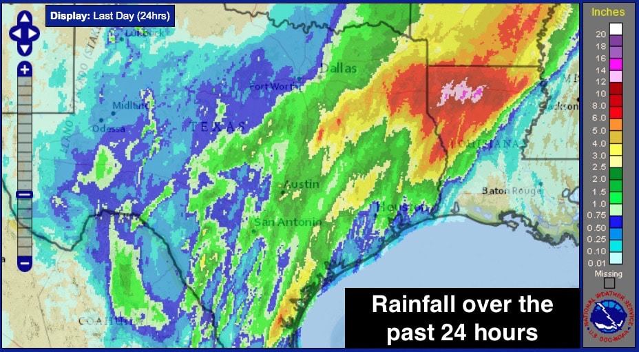
The heavy rainfall threat will continue for several more hours across the eastern half of the state. We’re currently seeing a wee bit of a break across parts of southeast, east and northeast Texas, but an additional round of heavy rain with embedded thunderstorms, is currently pushing onshore between Galveston and Palacios. Thunderstorms will be most likely across southeast Texas this evening and overnight, with an additional 1 to 3 inches likely. For east and northeast Texas, the setup looks to be mainly heavy rain this evening and tonight with minimal threat of seeing any severe weather. Here’s a look at the current Flash Flood Watches for our state. A majority of these will remain in effect through tomorrow afternoon, and could possibly be extended if the upper level low across northern Mexico moves out slower than anticipated.
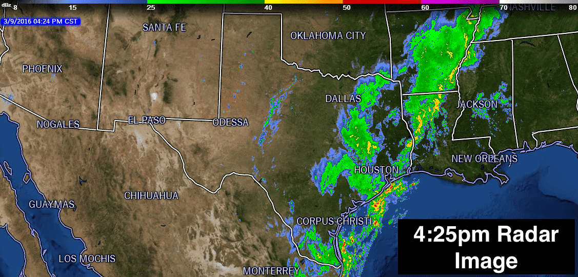
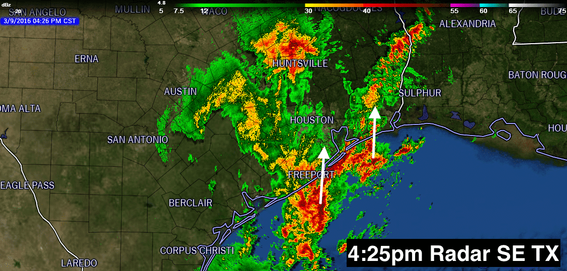
Current Radar Image for the state and across southeast TX.


0 Comments