

Let’s start out with the brand new severe weather outlook for Friday. The Storm Prediction Center has upgraded portions of Central and South-Central Texas to a Level 2 Possible Risk of severe thunderstorms. A level 1 marginal risk of severe thunderstorms includes the Concho Valley, parts of the Big Country, North Texas, East Texas, and Southeast Texas. Unlike most of our severe weather days the threat looks to ramp up around sunrise.
11 PM HRRR Simulated Weather Radar through lunchtime today.
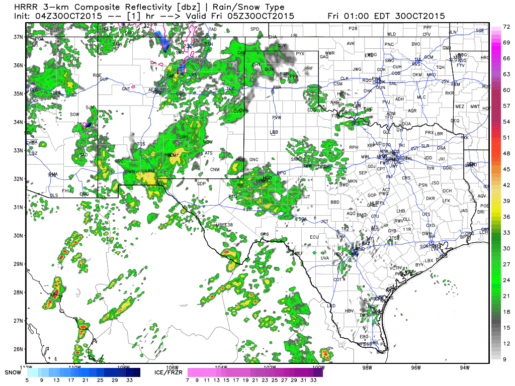
The High Resolution Rapid Refresh (HRRR) model run this morning does show an increase in thunderstorm intensity across South-Central Texas and Deep South Texas around sunrise. Very strong wind shear will be in place and it looks like the atmosphere will be at least marginally unstable. A combination of those ingredients will support the possibility of supercell thunderstorms. I don’t anticipate many supercells this morning but those that do form could pose a threat of damaging wind gusts and potentially a tornado. Coverage of thunderstorms will increase by mid-morning across North Texas. Some of the storms may be strong with a hail and damaging wind threat. At this time the tornado threat looks to be relatively maximized across Central and South-Central Texas where instablity values will be higher. With such strong wind shear in place we’ll have to closely monitor trends today. If instablity values end up higher than expected the severe weather threat will subsequently increase.


0 Comments