
A gorgeous day is in store for the western two-thirds of Texas as the sun comes out along with fall temperatures. Speaking of temperatures they’re starting off quite cool across the Texas Panhandle, South Plains, Permian Basin, Concho Valley, Big Country, and Northwest Texas with 30s and low 40s observed. Not too shabby for the fall weather fans out there (I’m one of them).
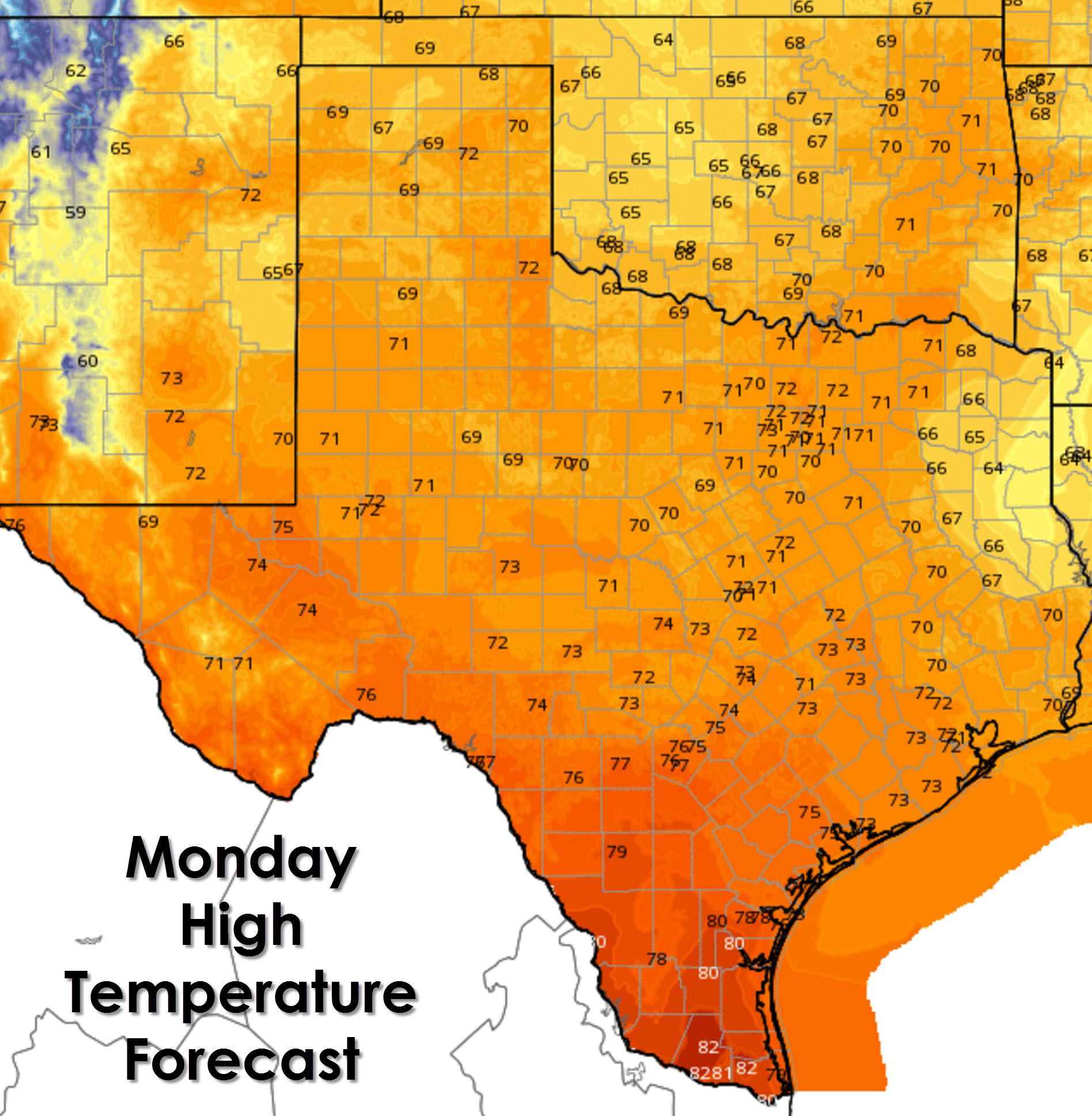
For this afternoon we’re expecting the coolest temperatures across East Texas where clouds are going to hang in tough. Outside of there we’ll see seasonal high temperatures with upper 60s to low 70s. The warmest spot will be the Rio Grande Valley where low 80s are forecast.
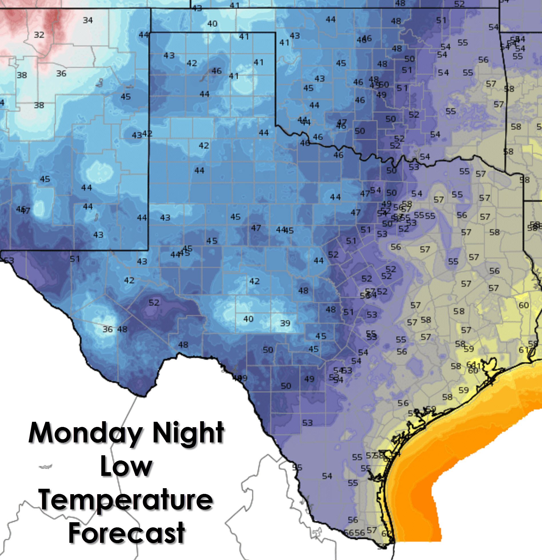
For your MOnday Night and Tuesday Morning we’ll see another night of cool temperatures. 40s to low 50s can be expected along and west of Interstate 35 with upper 50s east of Interstate 35. The Rio Grande Valley will drop off into the upper 50s tonight which is actually a tad on the cool side for those folks.
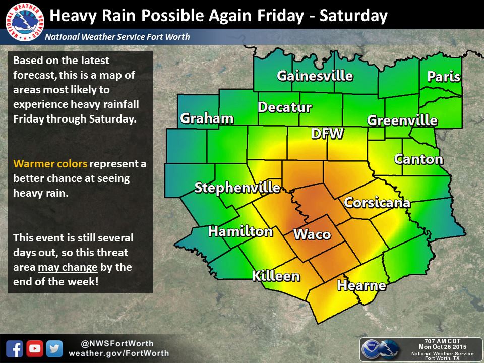
We’re still keeping an eye on our next storm system. At this time it appears that rain chances will start to increase from west to east on Thursday and Thursday Night. The best rain chances look to be on Friday and Saturday. I do realize that Saturday is Halloween but I’m afraid its going to be wet for some folks. Seeing as we’re still five days out the forecast is likely to change. Locally heavy rain and the risk for some flooding will exist with this system. Widespread severe weather does not look likely but we’ll have to keep an eye on any localized potential.


0 Comments