

Active weather returns to Texas for the remainder of the week. Today’s scattered severe storms will give way to widespread rain and much cooler temperatures over the weekend. This change in weather will bring a much-needed break from the early summer heat, offering a sense of relief to most of us this weekend.

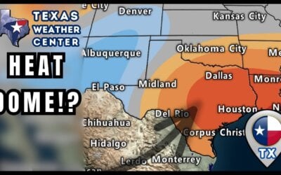
Today will be hot across most of the state unless you’re in the Texas Panhandle or West Texas. Tropical-like dewpoint temperatures east of the dryline will make for another sticky day. A cool front/dryline combination will spark off isolated to scattered thunderstorms after 3 PM. Later this afternoon, the highest chance of storms will be in Northeast Texas, North Texas, Texoma, into the Hill Country, eastern Concho Valley, and Edwards Plateau. Today’s storms will only move at 10 to 25 MPH to the south/southeast and will mostly be gone by midnight. Today’s most intense thunderstorms could produce very large hail up to the size of baseballs, localized damaging wind gusts over 65 MPH, and heavy rainfall. The tornado threat is very low, but a brief spin-up cannot be ruled out.
Friday and the Weekend Weather Forecast
Isolated severe thunderstorms will be possible late Friday afternoon in the Hill Country, Edwards Plateau, and Rio Grande Plains. We can’t rule out a few severe storms firing off in northern Mexico and moving into the abovementioned regions. Large hail and damaging winds would be likely with any of those storms before they dissipated a few hours after sunset.
A cold front will bring much cooler weather and widespread rain chances to most of Texas this weekend. Specifically, Saturday through Sunday morning will be the best chance for rain across the northern two-thirds of Texas. Most of the state will be cloudy on Saturday and Sunday.
Forecast Texas Rain Totals

One to four inches of rain may fall in portions of the Hill Country, Central Texas, North Texas, and East Texas by Sunday. Severe thunderstorms are unlikely with the weekend rain, but flooding will become an issue where heavier rains do fall. Sunday afternoon through Tuesday looks mostly dry across Texas, though some showers are possible in Deep South Texas. A warm-up will begin on Monday.
Helpful Links
FREE WEATHER APP: https://Texasweather.app/
WEB/RADAR: https://www.texasstormchasers.com/radar
SOCIAL PLATFORMS: https://linktr.ee/texasstormchasers


0 Comments