
We’re done with the widespread rains of the previous week with more of a summer-like weather pattern in place. As typical with summer weather in Texas we will be on the watch for scattered afternoon showers and storms in Southeast Texas and along the coast into South Texas and the Rio Grande Valley. By late afternoon a complex or at least isolated storms could move south into the Texas Panhandle from Oklahoma/Kansas. These storms could produce frequent cloud to ground lightning and localized gusty winds. Storms could move south towards the South Plains by early evening.
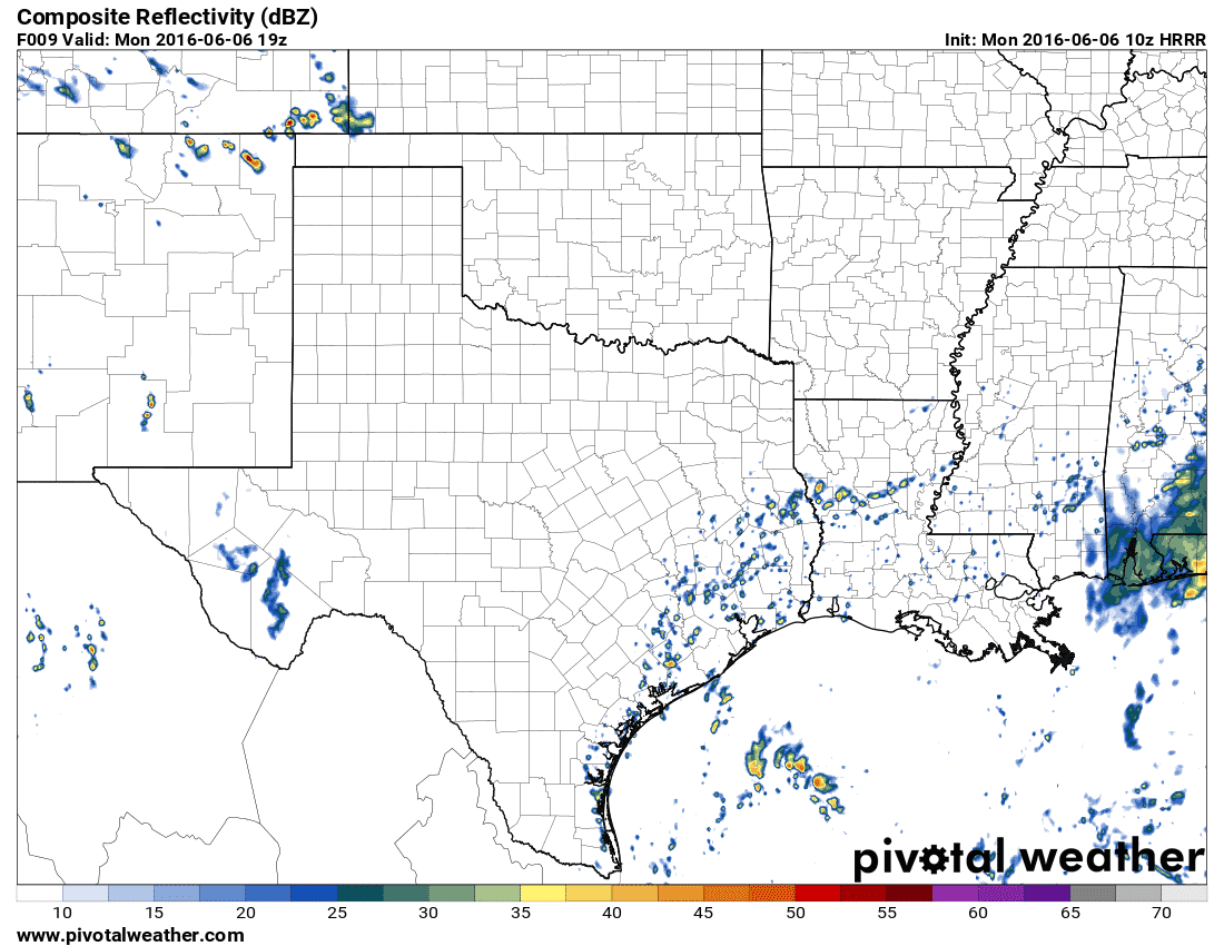
Simulated radar early this afternoon
The chance for scattered showers and storms will increase after 11 AM across Southeast Texas. This activity will be diurnally driven and typical of Southeast Texas in the summer months. The highest number of storms will likely be in the early afternoon hours as outflow boundaries spark off new storms through the mid-afternoon hours. The strongest activity may produce frequent cloud to ground lightning, localized gusty winds over 40 MPH, and brief bouts of heavy rain. As is typical for summer ‘popcorn’ storms you may get soaked while your neighbors may not get a drop.
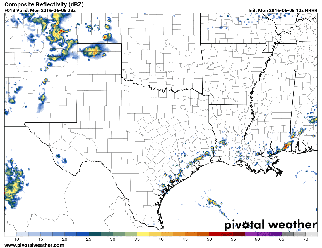
Simulated radar by early evening
The chance for a couple storms increases by late afternoon in the Texas Panhandle. If storms are able to organize into a cluster it’ll move south with the chance for localized gusty winds over 45 MPH and frequent cloud to ground lightning.

0 Comments