
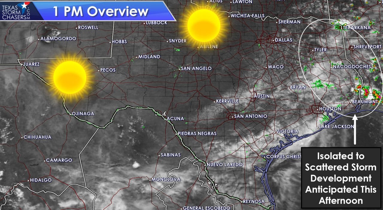
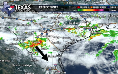
We’re seeing the first signs of afternoon thunderstorm development across Northeast Texas and East Texas. So far this activity is quite isolated and benign. Stronger storms have fired up within 50 miles of the coast in southwest Louisiana and extreme southeast Texas. As we continue into the mid-afternoon hours an uptick in showers and thunderstorms is expected across Northeast Texas, East Texas, and Southeast Texas. Isolated storm activity is possible as far west as North Texas, Central Texas, and the Brazos Valley. Unlike the past two days we should stick with more isolated to widely scattered storms versus an organized cluster. With an unstable airmass in place a few storms may pulse up and produce localized damaging wind gusts. Dangerous cloud to ground lightning is a good bet with storms this afternoon as well. Any cells that develop will progress to the south. With time any development will weaken towards sunset.

0 Comments