
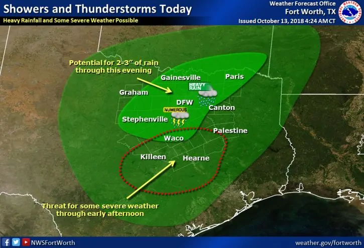
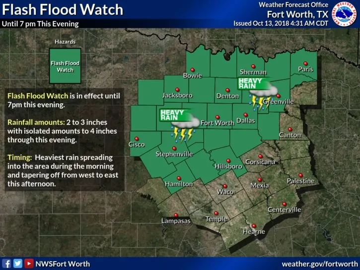
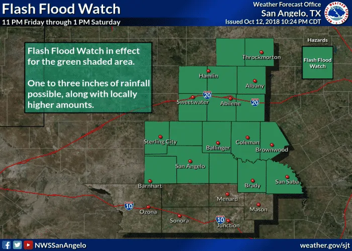
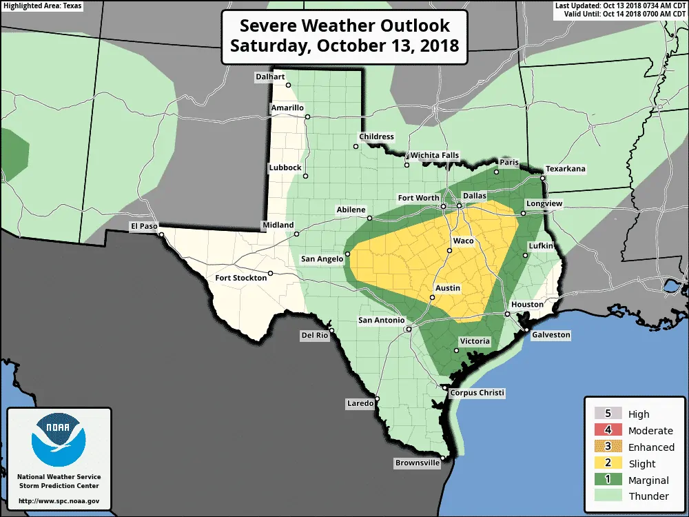
The Storm Prediction Center has placed a Slight Risk (Level 2) for strong to severe storms this morning and into the afternoon hours for portions of west central and central Texas. Damaging winds and hail are the main threats, but there conditions are present for a few tornadoes through the afternoon hours mainly within a small corridor between San Angelo and east towards Waco. A cluster of supercells south of San Angelo this morning have a history of producing tornadoes and this trend is expected to continue as the line of storms moves east through the afternoon hours. A subtle frontal boundary is currently situated from just north of San Angelo east to Waco and over towards Huntsville with warm and humid conditions ahead of the boundary. This boundary is expected to lift north during the day likely as far as the I-20 corridor by mid-afternoon dragging the humid and unstable air along with it. The warm and increasingly unstable air south of this boundary will continue to support the development of strong to severe storms this afternoon with a continued tornado threat. Residents in and near the Slight Risk area will need to keep an eye on the weather today and have a way to receive warnings should any be issued for your location. A Tornado WATCH is in place for portions of central and west central Texas until noon. This includes the following counties: Brown, Coleman, Concho, McCulloch, Menard, Runnels, San Saba, Schleicher and Tom Green. We may see additional Watches issued as we get further into the late morning and early afternoon hours. Flash flooding will also be a concern throughout the day as widespread rain continues to develop and track east across the region. Most of the rainfall should push east and come to an end by late evening.
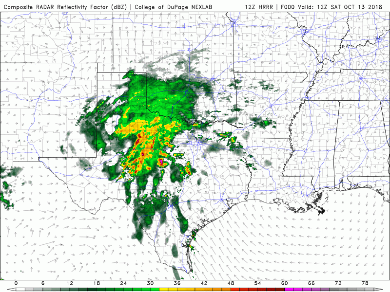
Simulated Radar Loop Through 1am


0 Comments