
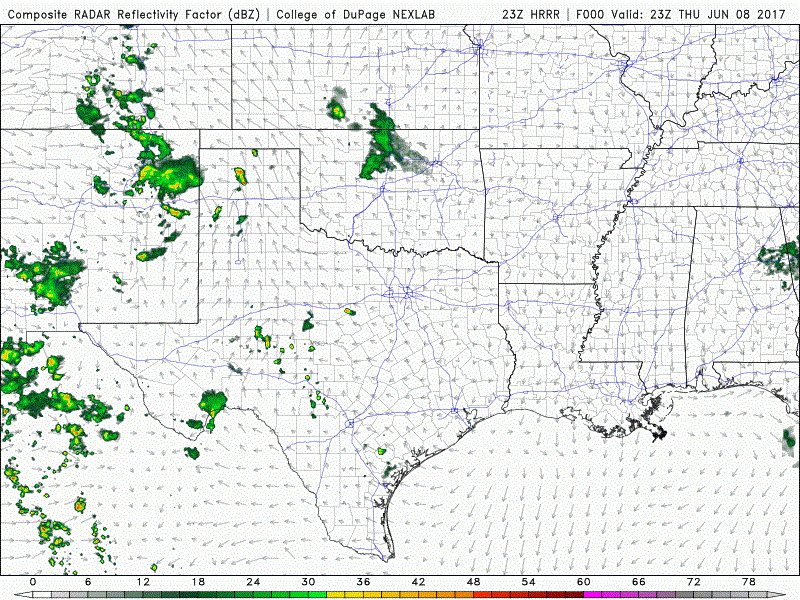
A Severe Thunderstorm WATCH has been issued until Midnight for the Texas Panhandle and portions of western Texas. Isolated storms capable of producing large hail up to 2.5 inches and damaging winds in excess of 70mph will be possible across the region over the next several hours. Storm coverage will not be widespread, but the cells that do continue to develop this evening will be strong will pack quite a punch. Storms currently north of Amarillo will continue to slowly drift south/southeast this evening, while cells currently impacting portions of eastern and northeastern New Mexico are expected to move southeast over the next several hours into the western portions of the southern Texas panhandle region.
Simulated Radar graphic through noon tomorrow
NWS Storm Prediction Center Norman OK
   715 PM CDT Thu Jun 8 2017

   The NWS Storm Prediction Center has issued a

   * Severe Thunderstorm Watch for portions of
     West Texas Including the Panhandle

   * Effective this Thursday night from 715 PM until Midnight CDT.

   * Primary threats include...
     Scattered large hail and isolated very large hail events to 2.5
       inches in diameter possible
     Scattered damaging wind gusts to 70 mph possible

   SUMMARY...Strong/severe storms over the Texas Panhandle and extreme
   east central New Mexico will move south-southeastward this evening
   across the area with potential to produce large hail and severe wind
   gusts.


0 Comments