
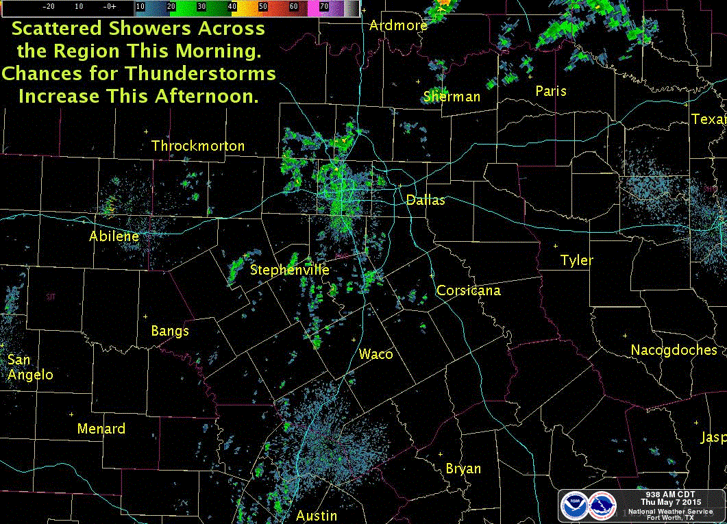
A Severe Thunderstorm WATCH has been issued for parts of north Texas until 8pm this evening. Current radar trends have a line of strong storms tracking east/southeast along the Red River Counties this afternoon and into the northern portions of the Dallas/Ft. Worth metroplex late this evening. Cities covered by this current Watch…Henrietta, Wichita Falls, Vernon, Seymour, Munday, Olney, Archer City and surrounding communities. Note: The DFW metro is NOT covered under this current watch. Large hail up to 2.5 inches and damaging winds in excess of 70mph are possible as this line of storms tracks east across the area this afternoon as we get into peak daytime heating. Isolated tornadoes are also a threat. Folks in this region will need to keep an eye on the weather once again this afternoon and be prepared to seek shelter if warnings are issued.

NWS STORM PREDICTION CENTER NORMAN OK
110 PM CDT THU MAY 7 2015
THE NWS STORM PREDICTION CENTER HAS ISSUED A
* SEVERE THUNDERSTORM WATCH FOR PORTIONS OF
SOUTHWEST AND CENTRAL OKLAHOMA
WESTERN NORTH TEXAS
* EFFECTIVE THIS THURSDAY AFTERNOON AND EVENING FROM 110 PM UNTIL
800 PM CDT.
* PRIMARY THREATS INCLUDE…
SCATTERED LARGE HAIL LIKELY WITH ISOLATED VERY LARGE HAIL EVENTS
TO 2.5 INCHES IN DIAMETER POSSIBLE
SCATTERED DAMAGING WIND GUSTS TO 70 MPH POSSIBLE
A TORNADO OR TWO POSSIBLE
SUMMARY…STRONG TO SEVERE THUNDERSTORMS OVER SOUTHWEST OK AND
WESTERN NORTH TX WILL BUILD EAST/NORTHEASTWARD TODAY ACROSS THE
WATCH AREA. STRONG INSTABILITY SUPPORTS A RISK OF LARGE HAIL AND
DAMAGING WINDS. AN ISOLATED TORNADO IS ALSO POSSIBLE OVER THE
SOUTHERN PARTS OF THE WATCH.
THE SEVERE THUNDERSTORM WATCH AREA IS APPROXIMATELY ALONG AND 50
STATUTE MILES EAST AND WEST OF A LINE FROM 60 MILES SOUTHWEST OF
WICHITA FALLS TEXAS TO 10 MILES NORTHWEST OF OKLAHOMA CITY
OKLAHOMA.


0 Comments