
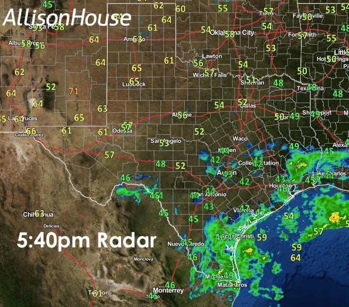
Areas of light to moderate rain continues across deep south Texas, the coastal bend and southeast Texas. Rainfall amounts have not been all that spectacular over the past 24 hours, but some locations have received nearly a half an inch since last night, which isn’t too bad. Here’s the latest 24-hour rainfall map for this region:
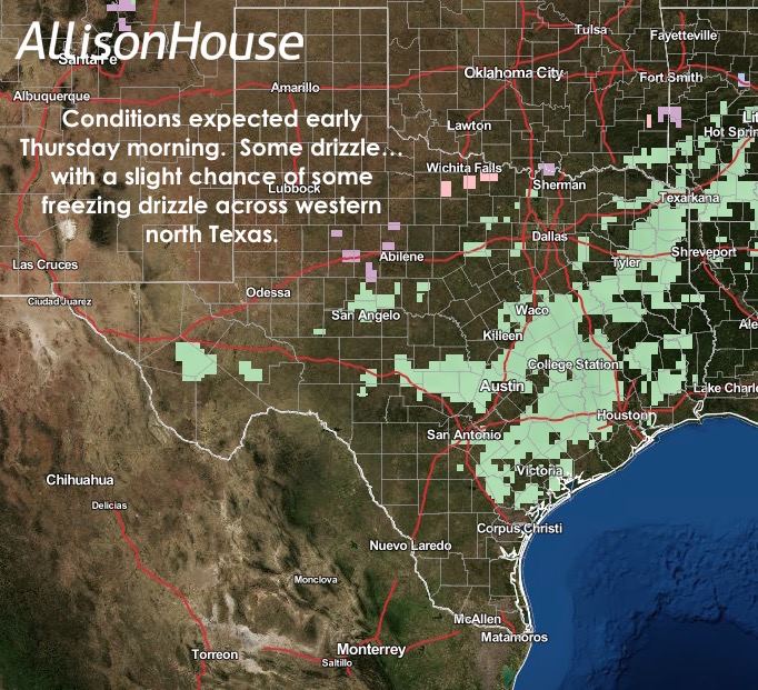
 High clouds continue to stream overhead across all of southern and central Texas due to an area of low pressure approaching the south Texas coast. This low, its cloud cover and rain are expected to begin shift east by Wednesday afternoon, but then our Wednesday night/Thursday cold front will bring in more clouds along with cooler temps and a slight chance of drizzle across north Texas Wednesday evening into early Thursday morning. Where temps have dropped down to freezing, there is a slight chance of seeing some freezing drizzle, but the amounts are expected to be very light with little to no impacts on area roadways. Chances for drizzle will also continue along and ahead of the front Thursday as it pushes south across central and south Texas. Rainfall amounts will be minimal at best, and no severe weather is expected to accompany the front.
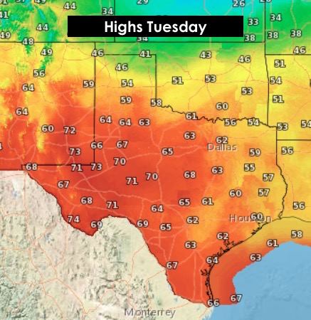
Here’s a look at the updated overnight lows and the highs for tomorrow! A tricky forecast for the panhandle and northern sections of the state which will be highly influenced by the speed and location of the front tomorrow afternoon. Fronts almost always move along quicker than the forecast models project, so the 50s and 60s forecasted highs for the northern panhandle tomorrow could be somewhat hopeful.


0 Comments